 |
|
|
||||
| OFR 99–0557: Virginia Digitized Aeromagnetic Projects |
| About USGS / Science Topics / Maps, Products & Publications / Education / FAQ |
|
|
|
|
|
|
|
|
|
|
|
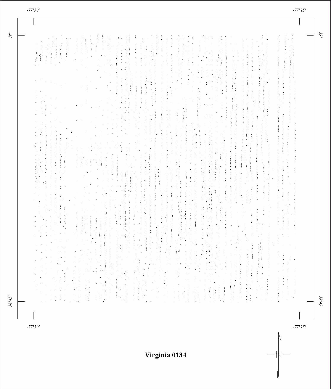
| 0134 | Fairfax | USGS | 02/1948 | 0.25 mi. | N-S | 500 AG |
1734
|
Tot.field, arb.datum | Adv.Geoph.v.1 |
| 0135 | Shenandoah Valley Dikes | USGS | 04/1953-06/1953 | 0.5 mi. | N-S | 2100 B |
1135
|
Tot.field, arb.datum | GP-414 |
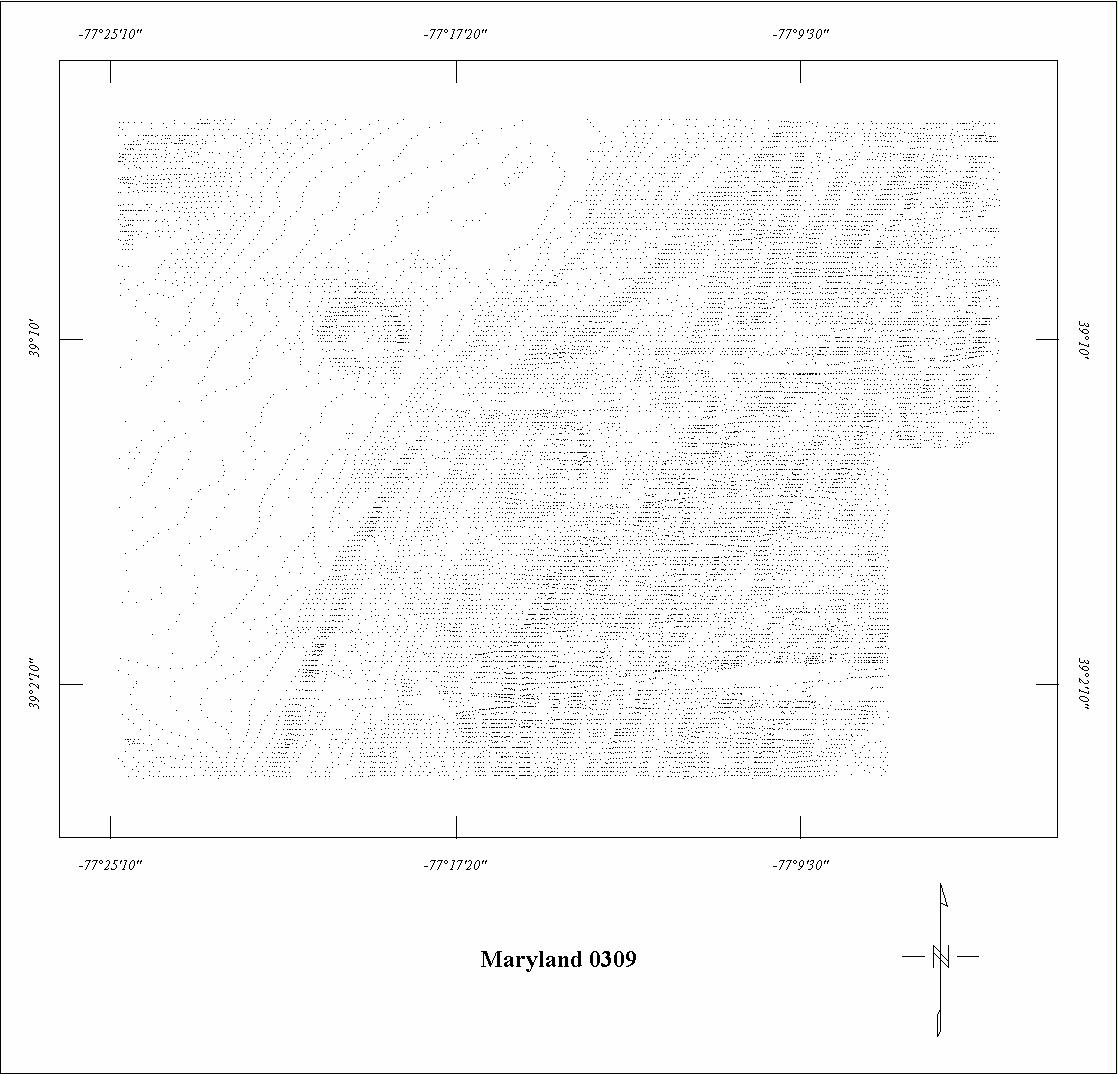
| 0309 | Montgomery County | USGS | 04/1958 | 0.25 mi. | E-W | 500 AG |
1418
|
Tot.field, arb.datum | GP-396,397 |
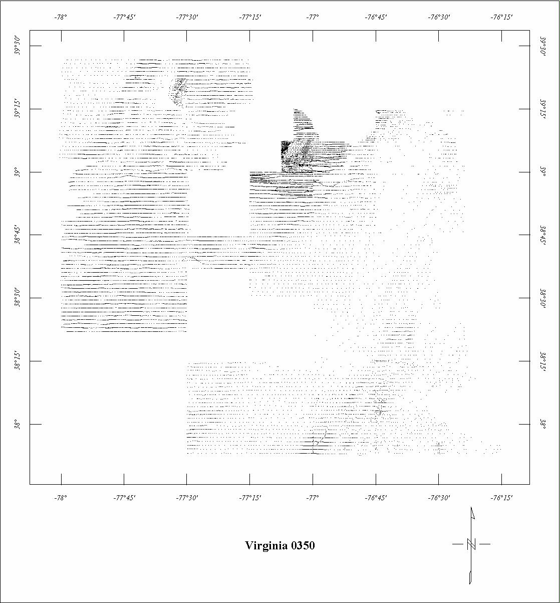
| 0350 | Ft. Belvoir ARMS1 | USGS | 02/1960-05/1960 | 1 mi. | E-W | 500 AG |
8724
|
Tot.field, arb.datum | GP's,77-709 |
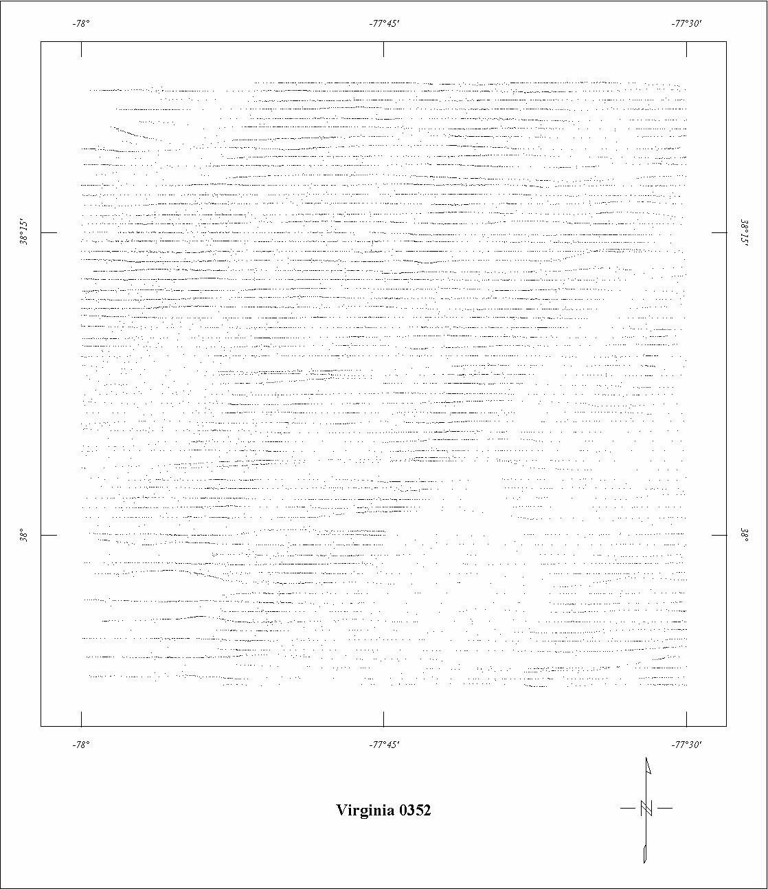
| 0352 | Spotsylvania '60 | USGS | 05/1960 | 0.33 mi. | E-W | 500 AG |
480
|
Tot.field, arb.datum | GP-386-389 |
| 0370 | Quantico Detail | USGS | 04/1960 | 0.5 mi. | E-W | 500 AG |
120
|
Tot.field, arb.datum | GP-390,391 |
| 0532 | Spotsylvania '642 | USGS | 01/1964 | 1 mi. | E-W | 500 AG |
610
|
Tot.field, arb.datum | 77-709 |
| 0647 | Milton-Roxboro | USGS | 08/1968 | 0.5 mi. | E-W | 400 AG |
2913
|
Tot.field, arb.datum | GP-745-749 |
| 0684 | Maryland Coop '70 | USGS | 06/1970 | 1 mi. | E-W | 3500 B |
3330
|
Tot.field, arb.datum | GP-842 |
| 3068 | Dahlgren | LKB | 06/1975 | 0.5 mi. | E-W | 500 AG |
2100
|
IGRF65 | B-1776 |
| 3010 | Southeast Virginia | Geoterrex | 04/1972-05/1972 | 2 mi. | E-W | 500 AG |
5700
|
IGRF65,51400 | 72-389 |
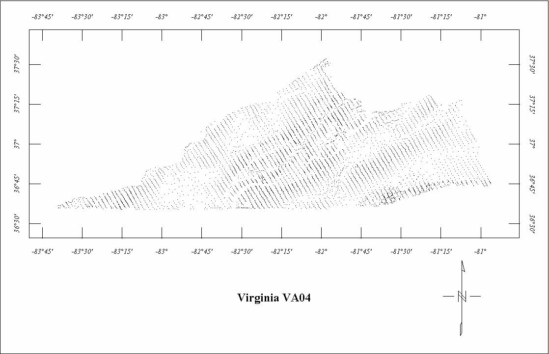
| VA04 | Southwest Virginia | Aero | 02/1962-04/1962 | 1.5 mi. | NW-SE | 5000 B |
3000
|
? | VA Map H |
| VA05 | Southwest Piedmont | Aero | 06/1965 | 0.5 mi. | NW-SE | 500 AG |
3600
|
Field removed | VA Map G |
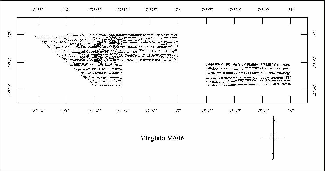
| VA06 | South-central Piedmont3 | Scintrex | 04/1969-05/1969 | 0.5 mi. | E-W | 500 AG |
6600
|
? | VA Map F |
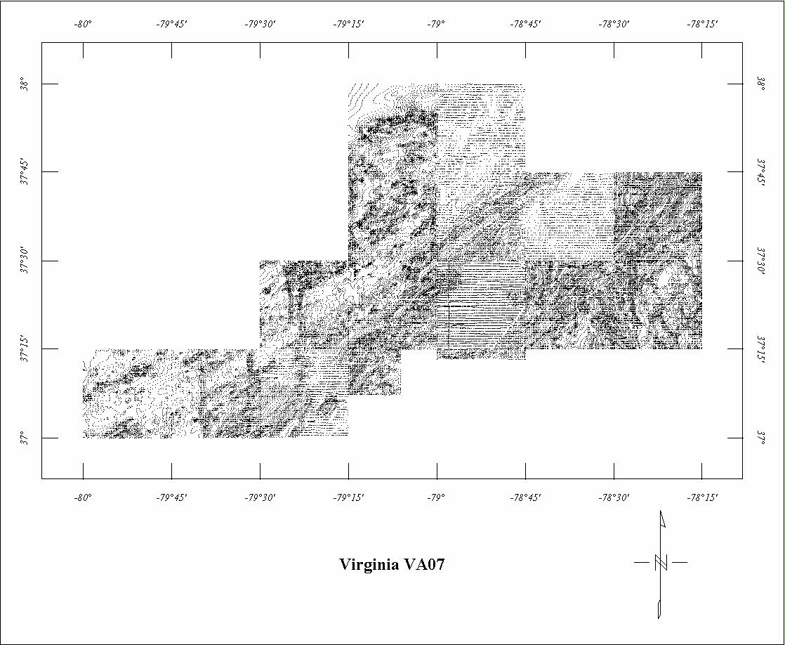
| VA07 | Roanoke Quad.3 | LKB | 04/1970-05/1970 | 0.5 mi. | E-W | 500 AG |
7000
|
Field removed | VA Map E |
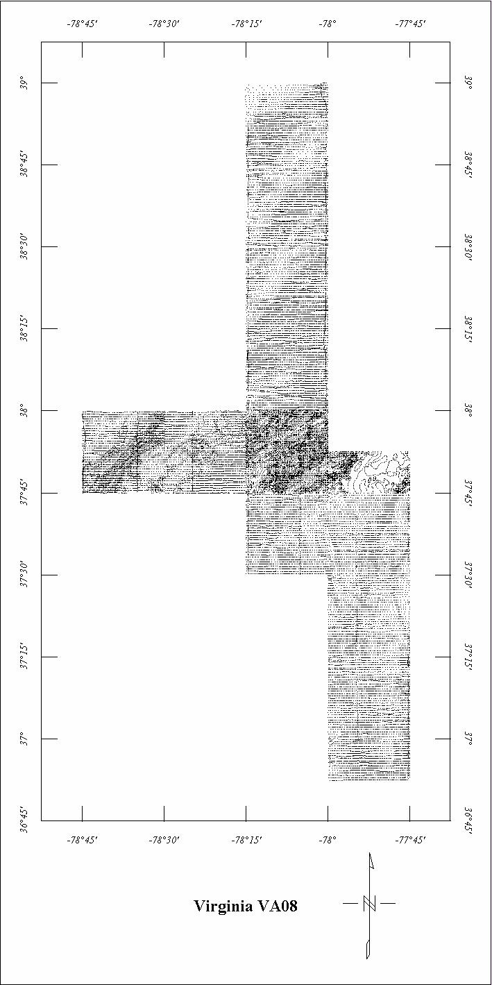
| VA08 | Piedmont Areas3 | LKB | 03/1971-04/1971 | 0.5 mi. | E-W | 500 AG |
6700
|
Field removed | VA Map B |
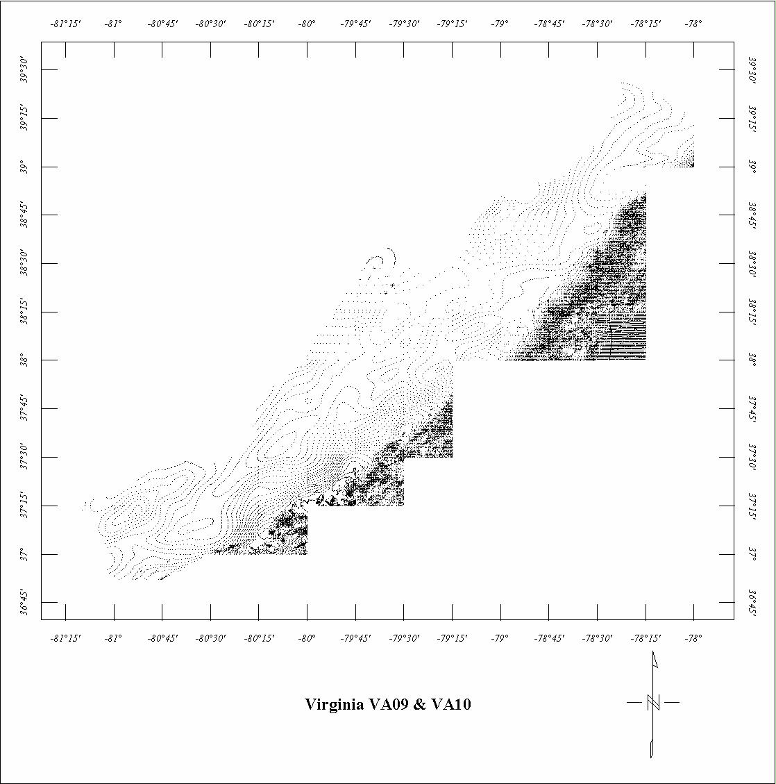
| VA09 | Western Virginia | LKB | 04/1972-06/1972 | 0.5 mi. | E-W | 500 AG |
7600
|
Field removed | VA Maps C&D |
| VA10 | Appalachian Strip4 | LKB | 04/1972-06/1972 | 3 mi. | E-W | 5000 B |
1670
|
Field removed | VA Maps C&D |
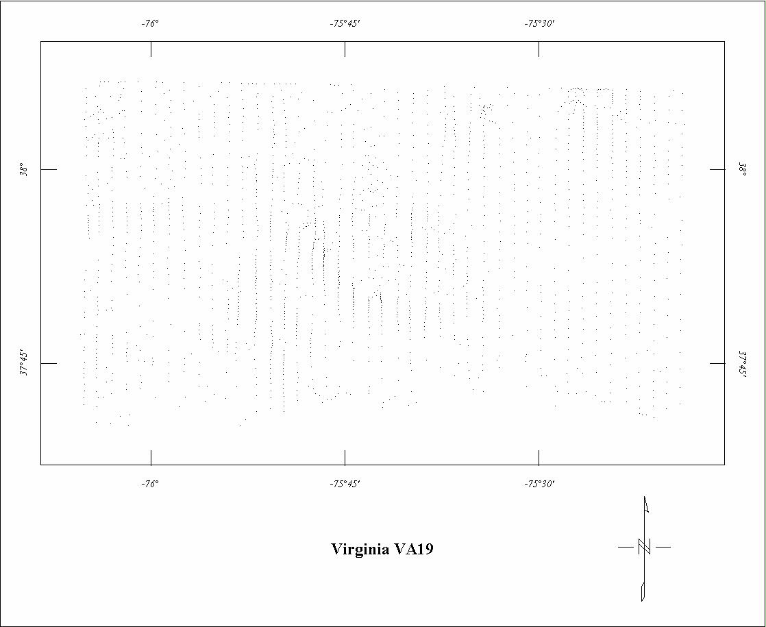
| VA19 | Virginia Hot Dry Rock | Airmag | 02/1980-03/1980 | 1 mi. | N-S | 1000 AG | 1380 | IGRF75 | Los Alamos 78-356 |
1 See also Project 0352. Small parts of Project 0350 are fully merged with Project
0352.
2 See Project 0352. Project 0532 is fully merged with Project 0352.
3 Projects VA06, VA07 and VA08 are incomplete. The missing parts are superceded by digital data.
4 See Project VA09. Project VA10 is fully merged with VA09.
Click on the individual survey numbers that are of interest to download ASCII XYZ file to your hard drive or click on the name to view a point plot.
Description of Table
*For more complete references see: Hill, P.L., 1991, Bibliographies and location maps of publications on aeromagnetic and aeroradiometric surveys for the states east of the Mississippi River south of the Ohio and Potomac rivers, U.S. Geological Survey Open-File Report 91-0370-D, 67 p.
Further information about aeromagnetic data from the state of Kentucky can be
obtained by contacting Pat Hill, (303) 236-1343, email (pathill@usgs.gov), or Bob Kucks, (303) 236-1405, email (rkucks@usgs.gov), or click the button below.
|
and Merged Aeromagnetic Data for Virginia |
Data Format and Digitizing Technique |
Aeromagnetics Home Page |
This report is preliminary and has not been reviewed for conformity with U.S.
Geological Survey editorial Standards. Use of brand names is for descriptive
purposes and does not constitute endorsement by the U.S. Geological Survey.
Last modified 9/14/1999.
| AccessibilityFOIAPrivacyPolicies and Notices | |
| |
|