
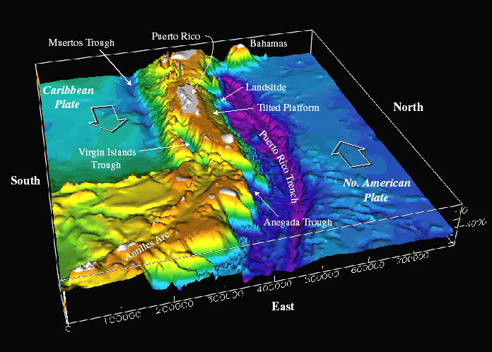
Fig. 1. Morphology of the northeastern Caribbean region, viewed from the east. The plate boundary zone between the North American and Caribbean plates is delimited by the Puerto Rico trench to the north of the islands and the Anegada trough and Muertos trough to the south. Color shaded bathymetry prepared by USGS. Digital data courtesy of Troy Holcombe and Lisa Taylor, U.S. National Geophysical Data Center, Boulder Colorado, from International Bathymetric Chart of the Caribbean Sea and the Gulf of Mexico, sheet 1-09, published by Instituto Nacional de Estadística, Geografía e Informática, México, 1992. from Seismic and Tsunami Hazards in Northeast Caribbean Addressed at Meeting
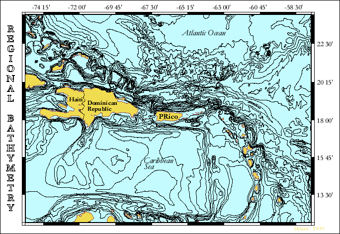 |
Bathymetry obtained from the GEBCO Digital Atlas maintained by the British Oceanographic Data Center (BODC) |