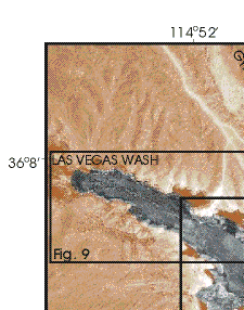
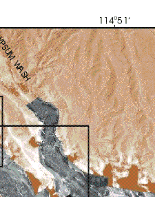
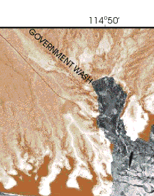
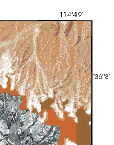
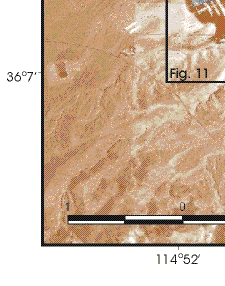
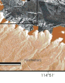
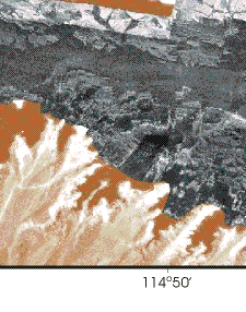
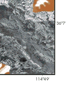
Figure 3. Sidescan sonar image of the northwestern part of Las Vegas Bay. On this image, strong acoustic returns (high-backscatter) are shown by the white and light gray shades while weak acoustic returns (low-backscatter) are shown by black and dark gray shades. The imagery in the submerged parts of Las Vegas, Gypsum, and Government Washes was collected in 2000, and the imagery covering the deeper part of Las Vegas Bay was collected in 1999. Boxes show locations of Figures 9 and Figures 11. Orthophotograph showing the land area surrounding Las Vegas Bay was compiled by the EROS Data Center (USGS, 1999).
|
|
|
|
|
|
|
|