U. S. Geological Survey Open-File Report 01-154
|
|
|
U. S. Geological Survey Open-File Report 01-154 |
SEA-FLOOR PHOTOGRAPHY FROM THE CONTINENTAL MARGIN PROGRAM:A Pictorial Survey of Benthic Character and Habitats
|
|
Photographic Gallery of personnel, facilities and equipment from the Continental Margin Program |
|
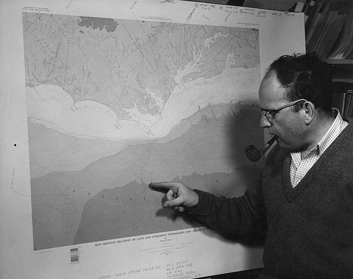
Dr. Elazar Uchupi, WHOI, locates the Hatteras Canyon on this new map showing the submarine topography of the Atlantic Continental Shelf and Slope. The U.S. Geological Survey and Woods Hole Oceanographic Institution are preparing three such sheets that will map the shelf at a scale of 1 inch equals 16 miles from Nova Scotia to Florida - the first detailed series of its kind. |