USGS: science for a changing world - home www.usgs.gov

Coastal and Marine Geology Program homepage - marine.usgs.gov

  U. S. Geological Survey Open-File Report 01-154

SEA-FLOOR PHOTOGRAPHY FROM THE CONTINENTAL MARGIN PROGRAM:

A Pictorial Survey of Benthic Character and Habitats
Along the U.S. East Coast

OFR01-154 home

Introduction

Bottom Photographs

GIS Data

Cruise Documents

References

Acknowledgements

Contacts

Disclaimer

README


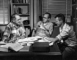
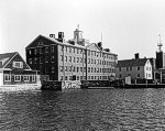
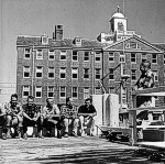
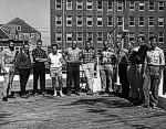
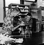
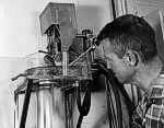
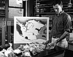
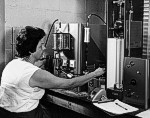
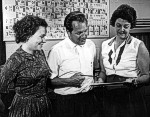
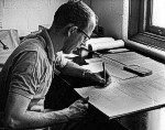
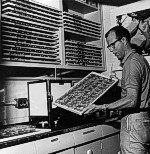
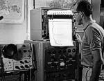
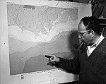
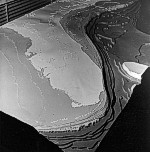
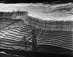
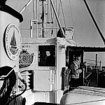
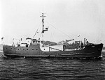
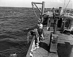
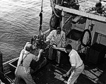
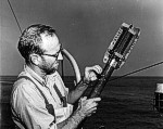
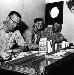
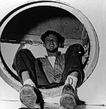
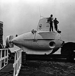
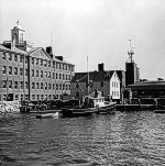
Photographic Gallery of personnel, facilities and equipment from the Continental Margin Program

Click on the thumbnail to view the desired photograph.  The photograph will be displayed in a new browser window.

Dr. Kenneth O. Emery (left) confers with Dr. Robert H. Meade, USGS (center) and Dr. John S. Schlee (right).

The main building Woods Hole Oceanographic Institution built in 1930.

An informal meeting with the WHOI-USGS project staff on the Institution's pier at Woods Hole.

Personnel of the WHOI-USGS Atlantic Shelf and Slope Project assemble for their picture at the Institution on September 24, 1964.

Dr. John S. Schlee, USGS,pours a sediment sample from a graduated cylinder into a sample splitter.

Joseph R. Frothingham, Jr. of WHOI uses a sonifier to break p samples from the ocean floor.

Dr. John S. Schlee, USGS, separates the pulverized sediments into a graduated cylinder.

Dr. John S. Schlee, USGS, prepares to drop a sample of sand into a long plexiglass tube in order to make a size analysis of the sand.

Joseph R. Frothingham, Jr., WHOI, examines sediment samples from the Atlantic coastal plain.

Paula A. Wiercinska

Mrs. Medlyn Hamilton, WHOI, operates the carbon analyzer and induction furnace in the Sediment Chemistry Laboratory.

Dr. Jobst Holsemann, WHOI, (center) confers here with his assistants, Miss Paula A. Wiercinska (left), and Mrs. Medlyn Hamilton (right).

John C. Hathaway, USGS, checks a computer-printed analysis on sediment minerals.

John C. Hathaway, USGS, displays some of his mineral and rock samples he has catalogued and files in his laboratory.

John C. Hathaway, USGS, studies the print-out sheet from the X-ray diffractor which reflects various mineral characteristics.

Dr. Elazar Uchupi, WHOI, locates the Hatteras Canyon on this new map showing the submarine topography of the Atlantic Continental Shelf and Slope.

This unique model of the Atlantic Continental Shelf and Slope was built during 1964 by a Woods Hole Oceanographic Institution - U.S. Geological Survey team.

Like an underwater "Grand Canyon", this model of the Atlantic Continental Shelf and Slope rises abruptly in exaggerated terraces toward the Continental Shelf - with Delaware Bay, Long Island , and Cape Cod marking the U.S. coastline in the distance.

As the 99-foot Research Vessel GOSNOLD hovers near the edge of the Continental Shelf - 90 miles south of Nantucket - Seaman Earl "Skip" Moody prepares to identify a passing ship with binoculars.

The Research Vessel GOSNOLD, owned and operated by the Woods Hole Oceanographic Institution, is used by members of the WHOI - USGS cooperative project in studies of the Atlantic Continental Shelf and Slope.

Research Vessel GOSNOLD is equipped with two deep-sea winches that are the heart of the geological sampling program.

Geological Survey scientists aboard the Research Vessel GOSNOLD prepare a sampling bucket to go over the side.

Dr. Robert H. Meade, USGS Marine Scientist, inserts a smoked glass slide into a bathythermograph (BT).

Suppertime aboard the Research Vessel GOSNOLD is observed here by the vessel's First Mate, Sam Vincent (left), Seaman Earl "Skip" Moody (center), and Engineer Ted Seifert

Scooting down the ladder from the fantail to the galley, Seaman Earl "Skip" Moody is surprised by the photographer's flashgun.

Deep-diving research vessel Alvin resting dockside at the Woods Hole Oceanographic Institution pier.

The 40-foot ASTERIAS, used occasionally by the WHOI - USGS marine geologists for inshore work, returns to her berth at the Institution's pier.