Link to USGS home page
Coastal and Marine Geology Program
Coastal & Marine Geology Program > Center for Coastal and Watershed Studies > Open File Report 01-303

A Summary of Findings of the West-Central Florida Coastal Studies Project

USGS Open File Report 01-303

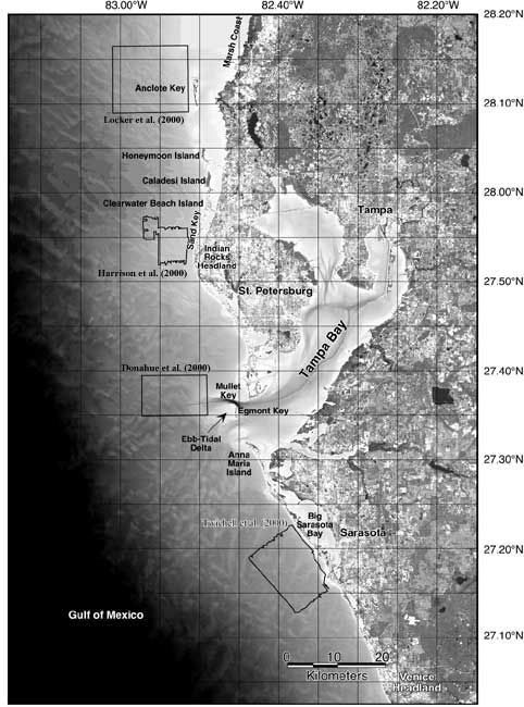
Figure 2. Location image of the west-central Florida study area illustrating bathymetry. References are adjacent to delineated areas of side-scan sonar mosaics or closely-spaced side-scan tracklines. Map by Gelfenbaum and Guy, 1999.
Location image of the west-central Florida study area illustrating bathymetry.

Coastal & Marine Geology Program > Center for Coastal and Watershed Studies > Open File Report 01-303


[an error occurred while processing this directive]