 |
|
|
||||
| Open-File Report 01-0429: AVIRIS Calibration Sites and Spectra |
| About USGS / Science Topics / Maps, Products & Publications / Education / FAQ |
Here are the calibration site image and corresponding spectral data files as measured on the ground using an Analytical Spectral Devices ASD-FR field-spectrometer. (Use of trade names is for descriptive purposes only and does not constitute endorsement but the USGS.) Several dozen field spectra were collected, averaged, and the results smoothed in areas where atmospheric absorption and instrument artifacts occurred.
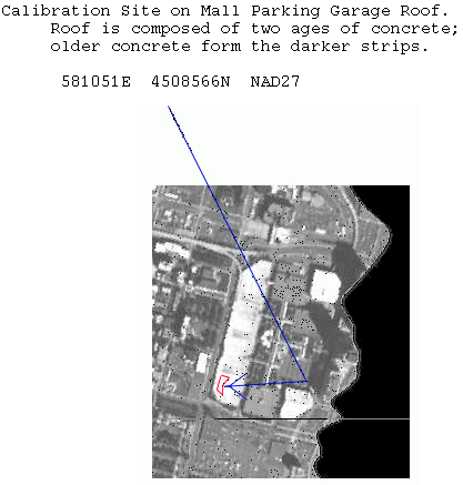
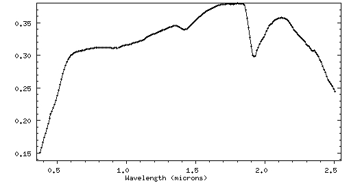
Click here for the ASD spectrometer ASC-II data of the Parking Garage Roof, NJ, 717 channels (field spectra averaged). Note: wavelengths are in Column 1, reflectance data are in Column 2.
Click here for the ASD spectrometer ASC-II data of the Parking Garage Roof, NJ, 224 channels (field spectra averaged and convolved to 2001 AVIRIS wavelengths). Note: wavelengths are in Column 1, reflectance data are in Column 2.
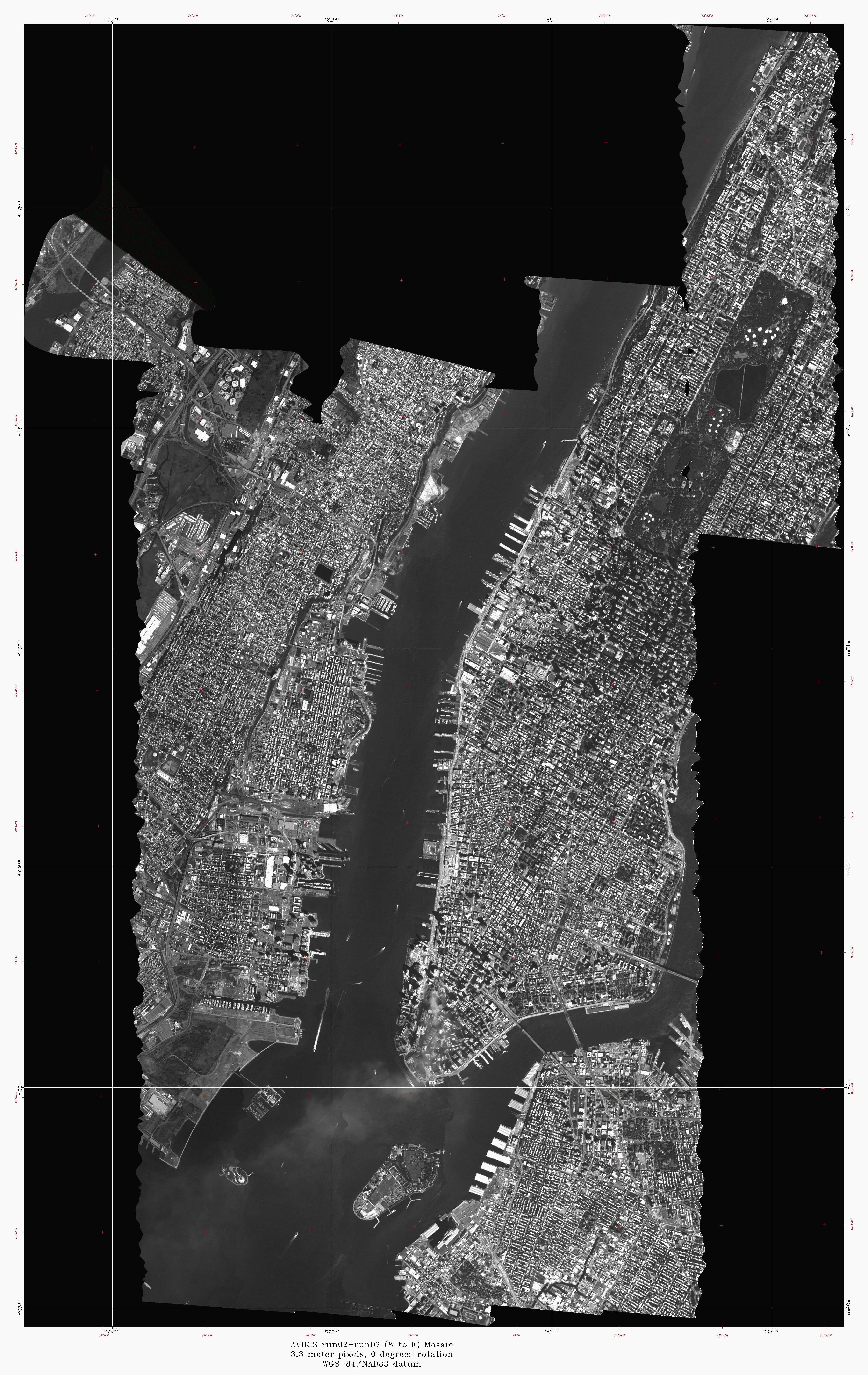
3.3 meter pixels, 0 degrees rotation
WGS-84/NAD83 datum
Joe Boardman, AIG
Back to Imaging Spectroscopy Mapping Results
Back to document Table of Contents
| AccessibilityFOIAPrivacyPolicies and Notices | |
| |
|