Open–File Report 2002–204
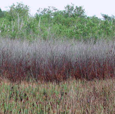 Station #SH5 - Harney River - Marsh/mangrove ecotone with fire, freeze, and hurricane damage. Taken September 20, 2001 - photo by: T.J. Smith III |
Historical Aerial Photography for the Greater Everglades of South Florida: The 1940, 1:40,000 Photoset (USGS Open File Report 02-327)
Caribbean-Florida Water Science Center
U.S. Geological Survey
3321 College Avenue
Davie, FL 33314

![]() U.S. Department of the Interior |
U.S. Geological Survey
U.S. Department of the Interior |
U.S. Geological Survey
URL: http://pubsdata.usgs.gov/pubs/of/2002/0204/index.html
Page Contact Information: GS Pubs Web Contact
Page Last Modified: Thursday, 10-Apr-2025 11:30:30 EDT
