Open-File Report 03-120
|
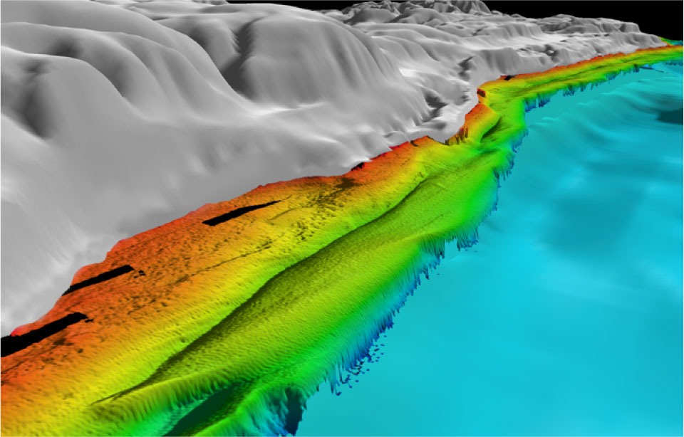
Figure 4.3 - Oblique view of the eastern portion of the Little Traverse Bay data set looking west along the coast. This view illustrates the rough relief of outcrops (?) and coarser (?) substrate material nearshore (reds and orange depths and the the shore parallel offshore bar (green) in depths of 10-15m over lain by bar-normal bedforms (and shore normal) in the left foreground. Distance across the bottom of image is about 2.2 km.(Black Strips in Lidar data are gaps.) (JPEG 96 kb) |
