|
| U.S. Geological Survey Open-File Report 03-001 |
|
USGSECSTDB: USGS East Coast Sediment Texture Database |
Metadata also available as: FAQ - TEXT
The modified Excel spreadsheet file, usgsecstdb.xls, was exported as an ASCII text file with tab delimited fields.
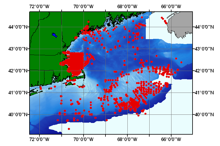
USGS East-Coast Sediment Analysis: Procedures, Database, and Georeferenced Displays, 2000, U.S. Geological Survey Open-File Report 00-358; East Coast Sediment Texture Database, 05_00pnt.shp
USGS East-Coast Sediment Analysis: Procedures, Database, and Georeferenced Displays, 2000, U.S. Geological Survey Open-File Report 00-358; East Coast Sediment Texture Database, 05_00pnt.shp