Geophysical Surveys of Bear Lake, Utah-Idaho, September, 2002,
OFR
03-150
OF 03-150
Home
CD-ROM
Contents
Project
Description
Introduction
Methods
Data
Acknowledgements
Figure Captions
GIS
Data
Contacts
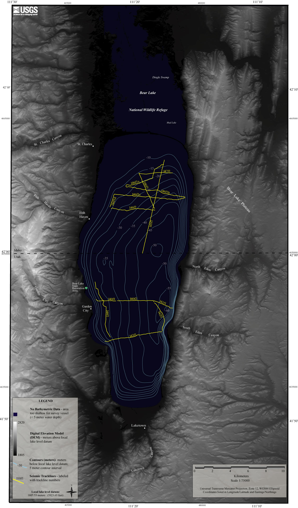
Figure 2.
Map showing location of seismic tracklines.
Back to Methods
Title Page
/
Contents
/
Project Description
/
GIS
Data
/
Contacts
[an error occurred while processing this directive]