|
|
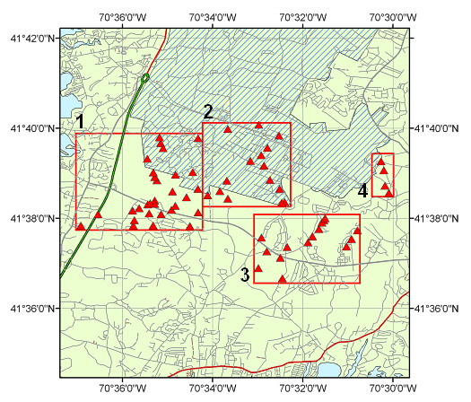
Index MapBelow is an index map showing the locations of the core sample sites. The map shows the roads of the western Cape Cod area along with the outline (cross-hatched area) of the southern portion of the Massachusetts Military Reservation, which from 1955 through 1972 included the Otis Air Force Base. From the map below, you may view a more detailed area by selecting either the number associated with the area or the map outline. This will open a new browser window with the detailed map. From the detailed area map, you may select further information on the bedrock sample by selecting the icon or the sample identifier at the associated location. Area
1 |
Area 2 |
Area 3 |
Area 4 Index map of western Cape Cod with four detailed map areas. For a larger version of the above map, click here.
|