Surficial Geology and Analysis of post-impoundment sediment of Lake Mohave
Open-File Report 2004-1256
|
Title Page / Introduction / Methods / Results / Discussion / Conclusion / Acknowledgments / References |
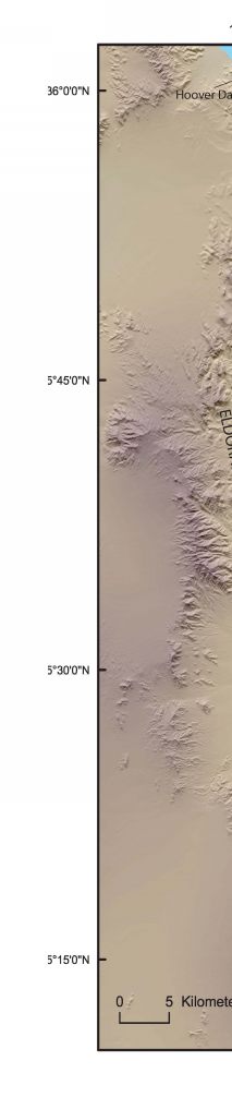
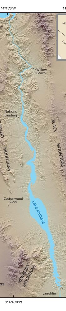
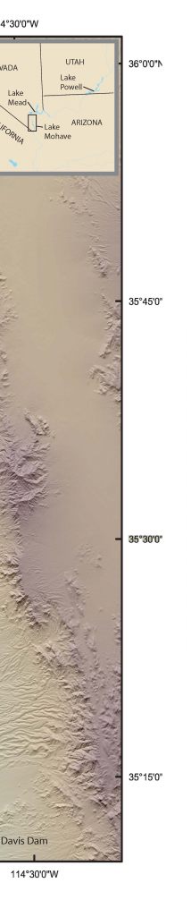
Figure 1. Shaded relief index map showing the location of Lake Mohave between Hoover and Davis Dams and surrounding mountain ranges. Inset shows location of study area in southern Nevada and northwestern Arizona.
Click for larger image (PDF version, 3.5 MB).
 |
 |
 |
![]() To view files in PDF format, download free copy of Adobe Reader.
To view files in PDF format, download free copy of Adobe Reader.
