Surficial Geology and Analysis of post-impoundment sediment of Lake Mohave
Open-File Report 2004-1256
|
Title Page / Introduction / Methods / Results / Discussion / Conclusion / Acknowledgments / References |
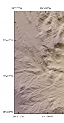
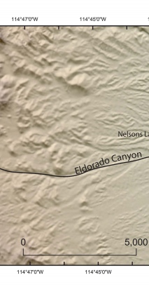
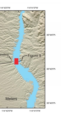
Figure 8. Map showing the location of Eldorado Canyon and the where the canyon mouth meets Lake Mohave at Nelson's Landing. The red rectangle shows the location of sidescan sonar images shown in figure 9.
Click for larger image (PDF version, 1.3 MB).
 |  |  |
![]() To view files in PDF format, download free copy of Adobe Reader.
To view files in PDF format, download free copy of Adobe Reader.
