USGS Open File Report 2005-1066

 |
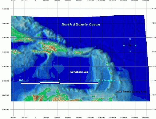
utm_prtbckgnd.tif - Caribbean
Regional Background Imagery for Puerto Rico Trench Featured Data, UTM
Zone 19 WGS84 Datum |
Original 30 arc-second global topographic (GTOPO30) data accuracy varies by location because sources are chosen on the best available for the area, and use a total of eight sources worldwide. Sources could be raster or vector, with more accuracy claimed from the raster sources. The exact source(s) of the data for the extent shown in the Caribbean region were not determined. Horizontal accuracy is considered to be no greater than the spatial resolution of 1000 meters.
The second dataset is a compilation of bathymetric data provided by the British Oceanographic Data Centre in their General Bathymetric Chart of the Oceans (GEBCO) product. A wide variety of sources and scales were used by the data provider to digitize contours for use in the 1-minute grid product. Horizontal accuracy is considered to be no greater than the spatial resolution of 2000 meters. The graphical merging process, where GEBCO 1-minute data were combined with GTOPO30 topographic data, introduced additional error through exporting to a compressed JPEG image format. The JPEG format uses a lossy compression technique to reduce file size at the sacrifice of image quality.