USGS Open-File Report 2005-1231
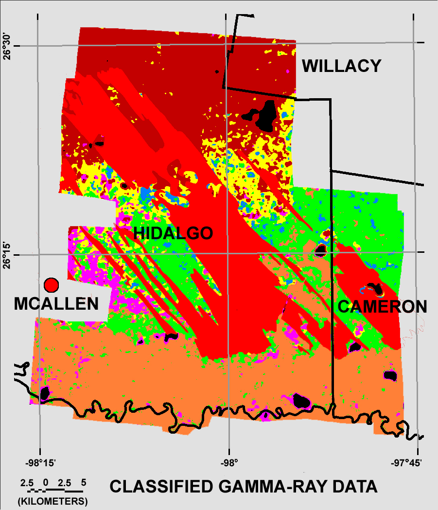
The areas mapped as dune sand (Qds) are shown as a red overly on the revised classification map.

![]() U.S. Department of the Interior |
U.S. Geological Survey
U.S. Department of the Interior |
U.S. Geological Survey
URL: http://pubsdata.usgs.gov/pubs/of/2005/1231/figurec3.htm
Page Contact Information: Stephen Snyder
Page Last Modified: Saturday, 12-Jan-2013 21:27:54 EST