Title Page /
Abstract /
Report /
Figures /
References /
Acknowledgements /
Disclaimer
 |
||
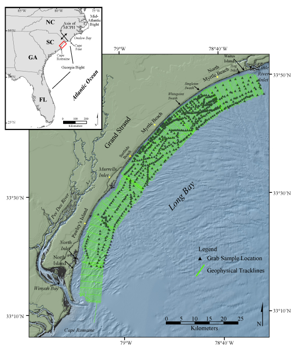
Figure 1. Location map of the study area showing geophysical tracklines and surficial grab sample locations. Inset map shows major water bodies, coastal landforms, and the regional orientation and axis of the Mid-Carolina Platform High (MCPH). The background shaded relief imagery is a digital elevation model of the northeastern South Carolina coastal plain (NOAA-NGDC, 2001). | ||

![]() U.S. Department of the Interior |
U.S. Geological Survey
U.S. Department of the Interior |
U.S. Geological Survey
URL: http://pubsdata.usgs.gov/pubs/of/2005/1345/html/imagepages/fig1.html
Page Contact Information: Publishing Services
Page Last Modified: Saturday, 12-Jan-2013 22:12:17 EST