Coastal Classification Map Introduction
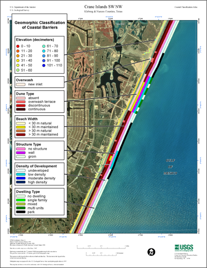
Each map shows an area with the coastal classifications marked as color bars along the shoreline. Below is an example map of Crane Islands SW/NW. To find out more about how the classification system works, see the Coastal Classifications section. At the bottom of the page is a clickable index map that will take you to the other maps.

Example Coastal Classification map for Crane Islands SW/NW. |
|
|
| Clickable Index Map. Use the index map above to navigate to the different coastal areas. |
continue to: Overview
 |


