Open-File Report 2008–1298
This report available online only in
PDF Format (2.26 MB)
The natural resources and watershed conditions of National Park units in the New York-New Jersey area—Gateway National Recreation Area (GATE), Sagamore Hill National Historic Site (SAHI), and Fire Island National Seashore (FIIS)—are threatened by different degrees of urbanization and direct or indirect human use. Such threats as nutrient enrichment, sedimentation, exotic species invasion, water pollution, and development pose serious management concerns for these parks. Limited investigations of the status of different natural resources at or near each park have been conducted, but a comprehensive understanding of the natural resources and watershed conditions at FIIS, GATE, and SAHI is needed. This report details the sources of spatial data and metadata assembled into a Geographic Information System (GIS) for the purpose of assessing natural resources and watershed conditions at GATE, SAHI, and FIIS.
Abstract
Introduction
Objectives and Approach of the Study
Purpose and Scope
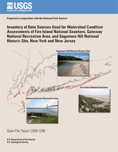
Study Area
Fire Island National Seashore (FIIS)
Gateway National Recreation Area (GATE)
Sagamore Hill National Historic Site (SAHI)
Data Sources
Bathymetry Data
Coastal Vulnerability Index
Environmental Monitoring and Assessment Program Data
Ground-Water Level Data
Multi-Resolution Land Characteristics Data
New York Harbor Water-Quality Data
Regional Environmental Monitoring and Assessment 1993/94 and 1998 Data
Storage and Retrieval (STORET) Data
Suffolk County Department of Health Services Water-Quality Data
Vegetation Mapping
Wind and Wave Climate Studies Data
References Cited
1–4. Maps showing—
If you have Adobe® Acrobat® or Adobe® Acrobat® Reader® installed on your computer, you may view and print the PDF version of this report. Acrobat Reader, is a free download from Adobe Systems, Inc. Users with disabilities can view information concerning accessibility at access.Adobe.com.
Suggested citation:
Benotti, M.J., 2008, Inventory of data sources used for watershed condition assessments of Fire Island National Seashore, Gateway National Recreation Area, and Sagamore Hill National Historic Site, New York and New Jersey: U.S. Geological Survey Open-File Report 20081298, 11 p., online only.
For more information please contact:
Director
U.S. Geological Survey
New York Water Science Center
425 Jordan Road
Troy, NY 12180
(518)285-5600
or visit our Web site at: http://ny.water.usgs.gov
![]() U.S. Department of the Interior |
U.S. Geological Survey
U.S. Department of the Interior |
U.S. Geological Survey
URL:: https://pubs.usgs.gov/of/2008/1298/
Page Contact Information: Publishing Service Center
Page Last Modified: Wednesday, 07-Dec-2016 21:30:31 EST
