U.S. Geological Survey Open-File Report 2009-1072
Geophysical and Sampling Data from the Inner Continental Shelf: Duxbury to Hull, Massachusetts
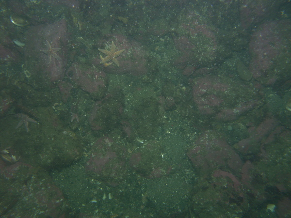
dl4_PICT0099.JPG Station # 146 Lat 42.302979 Long -70.763191 Time (UTC) 11:40:54 Click here for the full-resolution JPG Image
Return to Photograph Gallery Index Page 16


