U.S. Geological Survey Open-File Report 2009-1072
Geophysical and Sampling Data from the Inner Continental Shelf: Duxbury to Hull, Massachusetts
Click on an image below for a higher resolution image.
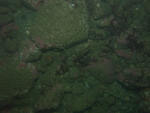
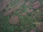
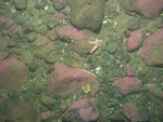
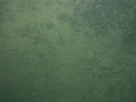
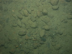
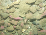
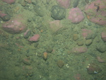
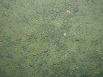 dl4_PICT0113.JPG Station # 148 Lat 42.296136 Long -70.745118 Time(UTC) 12:21:17 |
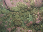
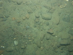
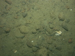
 dl4_PICT0114.JPG Station # 148 Lat 42.296087 Long -70.745365 Time(UTC) 12:22:20 |
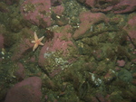
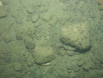
 dl4_PICT0115.JPG Station # 148 Lat 42.295974 Long -70.745744 Time(UTC) 12:24:11 |
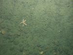
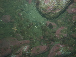
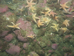
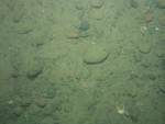
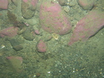
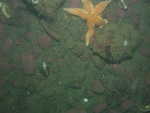
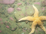
 dl4_PICT0116.JPG Station # 149 Lat 42.28423 Long -70.721265 Time(UTC) 12:40:34 |
 dl4_PICT0117.JPG Station # 149 Lat 42.284218 Long -70.721317 Time(UTC) 12:40:47 |
|||
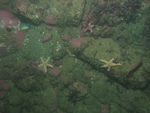 dl4_PICT0118.JPG Station # 149 Lat 42.284147 Long -70.721648 Time(UTC) 12:42:07 |
 dl4_PICT0119.JPG Station # 149 Lat 42.284099 Long -70.721826 Time(UTC) 12:42:49 |
 dl4_PICT0120.JPG Station # 149 Lat 42.283995 Long -70.722249 Time(UTC) 12:44:39 |
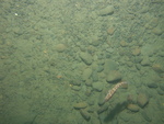
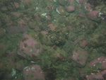
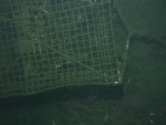
 dl4_PICT0121.JPG Station # 150 Lat 42.275246 Long -70.713477 Time(UTC) 12:56:55 |
 dl4_PICT0122.JPG Station # 150 Lat 42.275247 Long -70.713566 Time(UTC) 12:57:18 |
|||
 dl4_PICT0123.JPG Station # 150 Lat 42.275238 Long -70.713627 Time(UTC) 12:57:31 |
 dl4_PICT0124.JPG Station # 150 Lat 42.275168 Long -70.713929 Time(UTC) 12:58:45 |
 dl4_PICT0125.JPG Station # 150 Lat 42.275122 Long -70.71406 Time(UTC) 12:59:22 |
 dl4_PICT0126.JPG Station # 150 Lat 42.275074 Long -70.714251 Time(UTC) 13:00:13 |
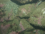
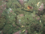
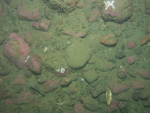
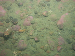
 dl4_PICT0127.JPG Station # 151 Lat 42.266866 Long -70.695782 Time(UTC) 13:16:10 |
|||
 dl4_PICT0128.JPG Station # 151 Lat 42.266871 Long -70.696047 Time(UTC) 13:17:21 |
 dl4_PICT0129.JPG Station # 151 Lat 42.26684 Long -70.696268 Time(UTC) 13:18:23 |
 dl4_PICT0130.JPG Station # 151 Lat 42.266807 Long -70.696419 Time(UTC) 13:19:08 |
 dl4_PICT0131.JPG Station # 151 Lat 42.266717 Long -70.696769 Time(UTC) 13:21:05 |
 dl4_PICT0132.JPG Station # 151 Lat 42.266685 Long -70.696887 Time(UTC) 13:21:45 |
|||
 dl4_PICT0133.JPG Station # 151 Lat 42.266679 Long -70.696932 Time(UTC) 13:22:00 |
 dl4_PICT0134.JPG Station # 151 Lat 42.266672 Long -70.696979 Time(UTC) 13:22:15 |
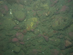
 dl4_PICT0135.JPG Station # 152 Lat 42.25166 Long -70.69979 Time(UTC) 13:36:05 |
 dl4_PICT0136.JPG Station # 152 Lat 42.251494 Long -70.699811 Time(UTC) 13:37:05 |
 dl4_PICT0137.JPG Station # 152 Lat 42.2514 Long -70.699857 Time(UTC) 13:38:07 |
|||
 dl4_PICT0138.JPG Station # 152 Lat 42.25138 Long -70.699899 Time(UTC) 13:38:29 |
 dl4_PICT0139.JPG Station # 152 Lat 42.251315 Long -70.700006 Time(UTC) 13:39:14 |
 dl4_PICT0140.JPG Station # 152 Lat 42.251252 Long -70.700119 Time(UTC) 13:39:58 |
 dl4_PICT0141.JPG Station # 152 Lat 42.251233 Long -70.700195 Time(UTC) 13:40:24 |
 dl4_PICT0142.JPG Station # 153 Lat 42.26038 Long -70.67771 Time(UTC) 13:56:09 |
|||
 dl4_PICT0143.JPG Station # 153 Lat 42.260357 Long -70.677869 Time(UTC) 13:56:55 |
 dl4_PICT0144.JPG Station # 153 Lat 42.260343 Long -70.677957 Time(UTC) 13:57:20 |
 dl4_PICT0145.JPG Station # 153 Lat 42.260308 Long -70.678156 Time(UTC) 13:58:18 |
 dl4_PICT0146.JPG Station # 153 Lat 42.260277 Long -70.678375 Time(UTC) 13:59:23 |
 dl4_PICT0147.JPG Station # 153 Lat 42.260234 Long -70.678597 Time(UTC) 14:00:30 |
|||
 dl4_PICT0148.JPG Station # 153 Lat 42.260204 Long -70.678707 Time(UTC) 14:01:07 |
|||||||


