
Bathymetry and Acoustic Backscatter: Northern Santa Barbara Channel, Southern California
Maps
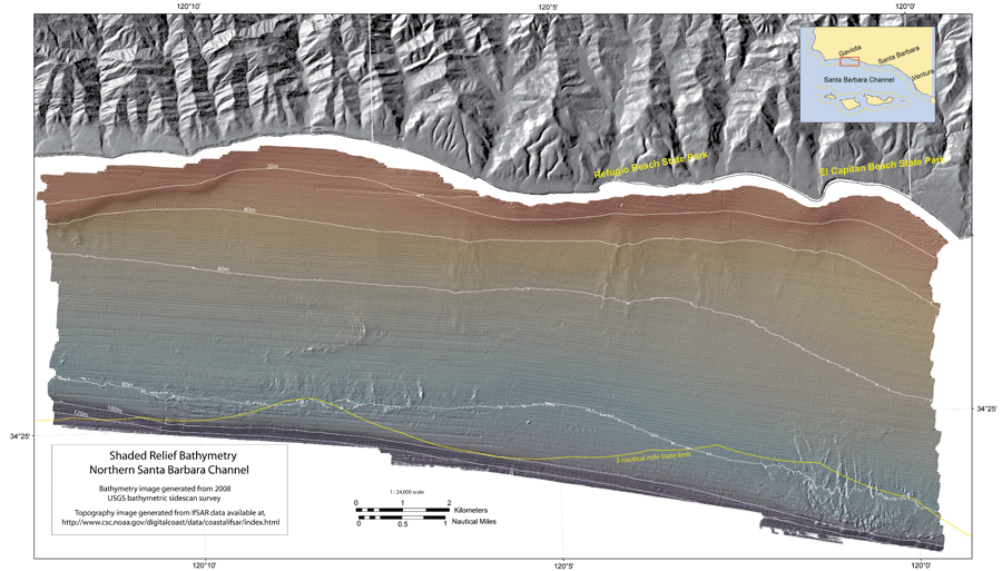 |
| Color-coded, shaded relief bathymetry in the northern Santa Barbara Channel region generated from the 2008 USGS mapping. Download a PDF version (16 Mb). |
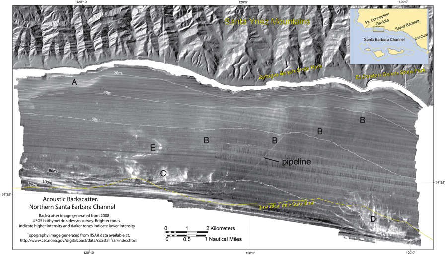 |
| Acoustic backscatter imagery in the northern Santa Barbara Channel region generated from the 2008 USGS mapping. Download a PDF version (5 Mb). |
For more information contact: Peter Dartnell
