U.S. Geological Survey Open-File Report 2010-1119
The National Assessment of Shoreline Change: A GIS Compilation of Vector Shorelines and Associated Shoreline Change Data for the New England and Mid-Atlantic Coasts
/ Title Page / List of Figures / Conversion Factors / Abstract / Introduction / Methods / Geospatial Data / References Cited /
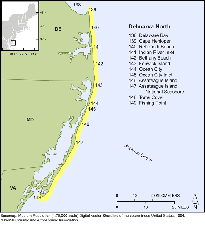
Figure 9. Map showing Delaware, Maryland, and northern Virginia shoreline locations selected for this study.