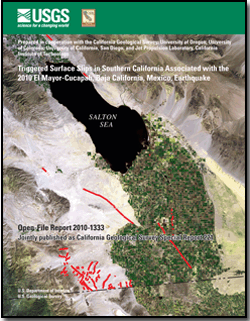
U.S. Geological Survey Open-File Report 2010–1333
Jointly published as California Geological Survey Special Report 221
|
For additional information: This report is presented in Portable Document Format (PDF); the latest version of Adobe Reader or similar software is required to view it. Download the latest version of Adobe Reader, free of charge. |
Rymer, M.J., Treiman, J.A., Kendrick, K.J., Lienkaemper, J.J., Weldon, R.J., Bilham, R., Wei, M., Fielding, E.J., Hernandez, J.L., Olson, B.P.E., Irvine, P.J., Knepprath, N., Sickler, R.R., Tong, .X., and Siem, M.E., 2011, Triggered surface slips in southern California associated with the 2010 El Mayor-Cucapah, Baja California, Mexico, earthquake: U.S. Geological Survey Open-File Report 2010–1333 and California Geological Survey Special Report 221, 62 p., available at https://pubs.usgs.gov/of/2010/1333/.
Abstract
Introduction
Timing of Fault Slip
Methods
San Andreas Fault
Coyote Creek Fault
Superstition Hills Fault
Wienert Fault
Superstition Mountain Fault
Kalin Fault
Imperial Fault
Brawley Fault Zone
Faults in the Yuha Desert Area
June 14 Mw5.7 Aftershock
Other Faults
Timing of Triggered Slip in the Yuha Desert Area
Acknowledgments
References Cited
one Appendix

![]() U.S. Department of the Interior |
U.S. Geological Survey
U.S. Department of the Interior |
U.S. Geological Survey
URL: http://pubsdata.usgs.gov/pubs/of/2010/1333/index.html
Page Contact Information: GS Pubs Web Contact
Page Last Modified: Wednesday, 07-Dec-2016 23:24:52 EST