Skip past header information
USGS - science for a changing world
NOAA Logo with link to NOAA Home Page.CT DEP Logo with link to CT DEP Home Page.  

U.S. Geological Survey Open-File Report 2011–1003

Combined Multibeam and LIDAR Bathymetry Data from Eastern Long Island Sound and Westernmost Block Island Sound – A Regional Perspective


Skip past contents information

Title | List of Figures | Conversion Factors | Abstract | Introduction | Methods | Bathymetry | GIS Data Catalog | Summary | Acknowledgments | References | Contacts


Figure 12. A map of the locations of other figures in this report.

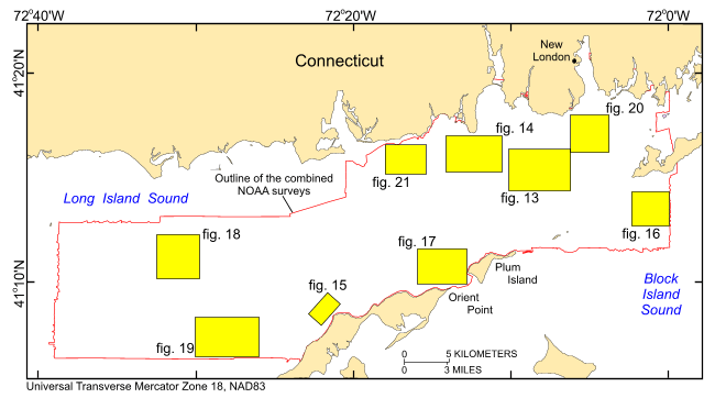
Figure 12. Locations of detailed planar views of the 4-meter digital terrain model (yellow polygons) produced from the contiguous National Oceanographic and Atmospheric Administration surveys in eastern Long Island Sound.

Skip USGS links group

Accessibility FOIA Privacy Policies and Notices

Take Pride in America logo USAGov logo U.S. Department of the Interior | U.S. Geological Survey
End of USGS links group