Skip past header information
USGS - science for a changing world
NOAA Logo with link to NOAA Home Page.CT DEP Logo with link to CT DEP Home Page.  

U.S. Geological Survey Open-File Report 2011–1003

Combined Multibeam and LIDAR Bathymetry Data from Eastern Long Island Sound and Westernmost Block Island Sound – A Regional Perspective


Skip past contents information

Title | List of Figures | Conversion Factors | Abstract | Introduction | Methods | Bathymetry | GIS Data Catalog | Summary | Acknowledgments | References | Contacts


Figure 3. Photograph of the NOAA Launch 3102.

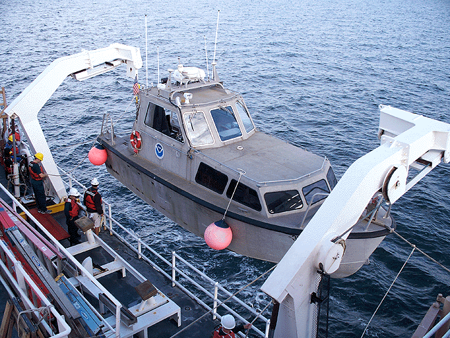
Figure 3. The National Oceanographic and Atmospheric Administration Launch 3102 being deployed from the NOAA Ship Thomas Jefferson.

Skip USGS links group

Accessibility FOIA Privacy Policies and Notices

Take Pride in America logo USAGov logo U.S. Department of the Interior | U.S. Geological Survey
End of USGS links group