Skip past header information
USGS - science for a changing world
NOAA Logo with link to NOAA Home Page.  

U.S. Geological Survey Open-File Report 2013–1003

Sea-Floor Geology in Northeastern Block Island Sound, Rhode Island


Bottom Photography

Skip past contents information
Click on figures for larger images
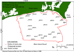
Thumbnail image of figure 21 and link to larger figure. Map showing locations of bottom photographs taken in the study area.
Figure 21. Map showing the locations of photographs of the sea floor taken during U.S. Geological Survey cruise 2012-002-FA on the research vessel Rafael.
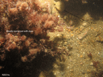
Thumbnail image of figure 22 and link to larger figure. Photograph of the sea floor in the study area.
Figure 22. Photograph of gravel and boulders on the sea floor at U.S. Geological Survey sampling station NBIS14.
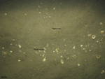
Thumbnail image of figure 23 and link to larger figure. Photograph of the sea floor in the study area.
Figure 23. Photograph of rippled sand on the sea floor at U.S. Geological Survey sampling station NBIS9. Shells and coarser sediment can be seen collecting in the ripple troughs.

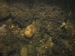
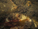
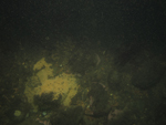
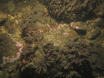
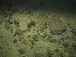
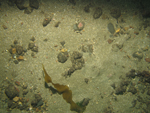
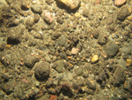
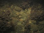
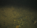
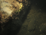
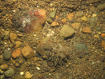
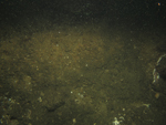
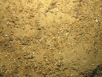
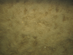
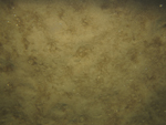
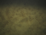
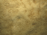
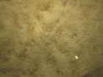
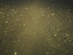
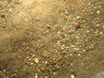
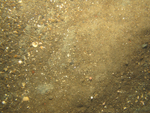
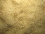
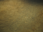
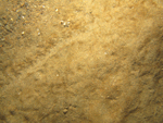
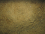
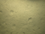
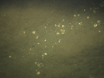
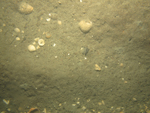
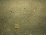
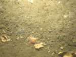
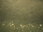
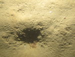
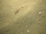
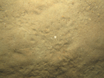
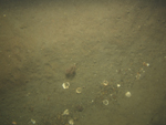
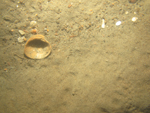
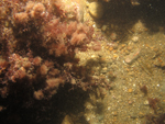
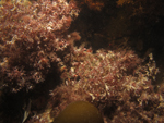
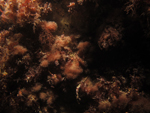
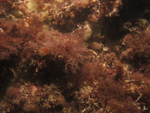
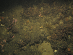
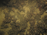
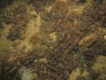
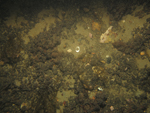
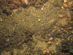
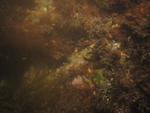
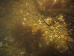
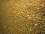
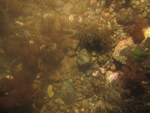
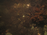
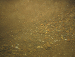
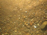
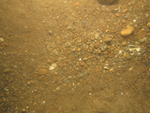
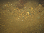
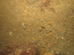
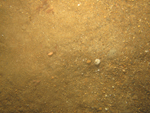
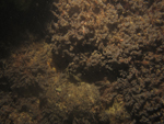
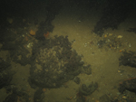
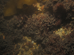
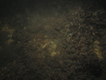
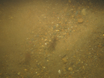
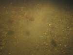
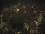
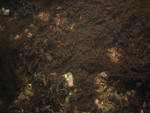
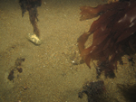
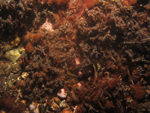
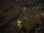
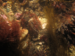
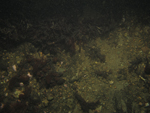
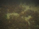
Several photographs and a few minutes of video were obtained at the sea-floor sampling stations (fig. 21). Photographs show that boulders are often covered with red algae and other seaweed, and anemones, hydrozoans, or kelp are often present (fig. 22). Areas of sandy sea floor are often rippled, with coarser sediment and shell hash concentrated in the troughs and finer sediment on the crests, and animal tracks and amphipod tubes may be present (fig. 23). Station NBIS5 crosses the boundary from a scour depression to the surrounding sea floor. The first four photographs in the transect are from the scour depression and show a rippled, gravelly sea floor (see Photograph Gallery below). The last two pictures are of a much finer grained, sandy sea floor. Photographs from other stations in scour depressions show that the depressions tend to have rippled sea floors with coarse sand and gravel collecting in the ripple troughs.

Low-resolution images (150 x 113 pixels) of the photographs may be viewed by browsing the thumbnails in the Photograph Gallery below. These thumbnails are linked to medium-resolution images (600 x 450 pixels) for more detailed viewing. A .zip file with all the medium-resolution images may be accessed by clicking here. The .zip file contains metadata about the photographs and their acquisition. Alternatively, the directory containing the full-resolution images (3648 x 2736 pixels) may be accessed by clicking here. The images can be identified by using the .jpg image names in the galleries below. Individuals interested in obtaining video photography collected in this area may do so at the Data Library of the USGS Woods Hole Coastal and Marine Science Center, Woods Hole, Mass.

Photograph Gallery

Station  /   Lithologic Description


NBIS-1 / Overgrown boulders along with cobbles and gravel. Red algae, tunicates, seaweed, and kelp are present.

Photograph showing the sea floor in the study area.
NBIS1a
Photograph showing the sea floor in the study area.
NBIS1b
Photograph showing the sea floor in the study area.
NBIS1c
 
Photograph showing the sea floor in the study area.
NBIS1d
Photograph showing the sea floor in the study area.
NBIS1e


NBIS-2 / Sand with patches of gravel changing to a gravel pavement. Shell hash, crabs, snails, anemones, kelp, and seaweed are present.

Photograph showing the sea floor in the study area.
NBIS2a
Photograph showing the sea floor in the study area.
NBIS2b
Photograph showing the sea floor in the study area.
NBIS2c
Photograph showing the sea floor in the study area.
NBIS2d


NBIS-3 / Overgrown boulders along with cobbles, gravel, and sand. Boulders and cobbles are covered with red algae, seaweed, hydrozoans, and tunicates. Snails are present.

Photograph showing the sea floor in the study area.
NBIS3a
Photograph showing the sea floor in the study area.
NBIS3b
Photograph showing the sea floor in the study area.
NBIS3c
Photograph showing the sea floor in the study area.
NBIS3d
Photograph showing the sea floor in the study area.
NBIS3e
Photograph showing the sea floor in the study area.
NBIS3f


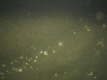
NBIS-4 / Sandy sea floor changing to gravel. Sandy areas are hummocky with scattered fine shell hash and organic debris concentrated in depressions. Gravel contains scattered shell hash. Animal tracks can be seen. Ctenophores are present in the water column.

Photograph showing the sea floor in the study area.
NBIS4a
Photograph showing the sea floor in the study area.
NBIS4b
Photograph showing the sea floor in the study area.
NBIS4c
 
Photograph showing the sea floor in the study area.
NBIS4d
Photograph showing the sea floor in the study area.
NBIS4e


NBIS-5 / Rippled, gravelly sea floor changing to hummocky sand. Pea gravel and coarser sand concentrate in ripple troughs and finer sand is on the crests with scattered shell hash throughout. Hummocky sand has organic debris in depressions, animal tracks, and scattered shell hash.

Photograph showing the sea floor in the study area.
NBIS5a
Photograph showing the sea floor in the study area.
NBIS5b
Photograph showing the sea floor in the study area.
NBIS5c
Photograph showing the sea floor in the study area.
NBIS5d
Photograph showing the sea floor in the study area.
NBIS5e
Photograph showing the sea floor in the study area.
NBIS5f


NBIS-6 / Rippled sand with pea gravel and shell debris in troughs and scattered organic debris concentrated in depressions.

Photograph showing the sea floor in the study area.
NBIS6a
Photograph showing the sea floor in the study area.
NBIS6b
Photograph showing the sea floor in the study area.
NBIS6c
 
Photograph showing the sea floor in the study area.
NBIS6d
Photograph showing the sea floor in the study area.
NBIS6e


NBIS-7 / Hummocky to faintly rippled sand with scattered shell debris.

Photograph showing the sea floor in the study area.
NBIS7a
Photograph showing the sea floor in the study area.
NBIS7b
Photograph showing the sea floor in the study area.
NBIS7c
Photograph showing the sea floor in the study area.
NBIS7d


NBIS-8 / Rippled sand with shell hash in troughs to hummocky sand with amphipod tubes and snails.

Photograph showing the sea floor in the study area.
NBIS8a
Photograph showing the sea floor in the study area.
NBIS8b
Photograph showing the sea floor in the study area.
NBIS8c


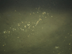
NBIS-9 / Rippled sand with pea gravel and shell hash in troughs. Ctenophores are present in the water column.

Photograph showing the sea floor in the study area.
NBIS9a
Photograph showing the sea floor in the study area.
NBIS9b
Photograph showing the sea floor in the study area.
NBIS9c
Photograph showing the sea floor in the study area.
NBIS9d


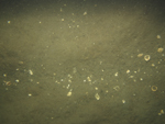
NBIS-10 / Rippled sand with pea gravel and shell hash in troughs. Ctenophores are present in the water column.

Photograph showing the sea floor in the study area.
NBIS10a
Photograph showing the sea floor in the study area.
NBIS10b
Photograph showing the sea floor in the study area.
NBIS10c
Photograph showing the sea floor in the study area.
NBIS10d


NBIS-11 / Hummocky sand with amphipod tubes and animal tracks.

Photograph showing the sea floor in the study area.
NBIS11a
Photograph showing the sea floor in the study area.
NBIS11b
Photograph showing the sea floor in the study area.
NBIS11c
Photograph showing the sea floor in the study area.
NBIS11d


NBIS-12 / Sand with amphipod tubes and small burrows and animal tracks.

Photograph showing the sea floor in the study area.
NBIS12a
Photograph showing the sea floor in the study area.
NBIS12b
Photograph showing the sea floor in the study area.
NBIS12c


NBIS-13 / Rippled sand with pea gravel and shell hash concentrated in troughs. Crabs are present.

Photograph showing the sea floor in the study area.
NBIS13a
Photograph showing the sea floor in the study area.
NBIS13b
Photograph showing the sea floor in the study area.
NBIS13c
Photograph showing the sea floor in the study area.
NBIS13d


NBIS-14 / Boulders, cobbles, gravel, and small patches of sand. Boulders overgrown with red algae. Kelp and shell hash are present.

Photograph showing the sea floor in the study area.
NBIS14a
Photograph showing the sea floor in the study area.
NBIS14b
Photograph showing the sea floor in the study area.
NBIS14c
 
Photograph showing the sea floor in the study area.
NBIS14d
Photograph showing the sea floor in the study area.
NBIS14e


NBIS-15 / Boulders, cobbles, gravel, and small patches of sand. Boulders overgrown with red seaweed. Fin fish and kelp are present.

Photograph showing the sea floor in the study area.
NBIS15a
Photograph showing the sea floor in the study area.
NBIS15b
Photograph showing the sea floor in the study area.
NBIS15c
Photograph showing the sea floor in the study area.
NBIS15d
Photograph showing the sea floor in the study area.
NBIS15e
Photograph showing the sea floor in the study area.
NBIS15f


NBIS-16 / Boulders, cobbles, gravel, and small patches of sand. Boulders overgrown with red seaweed. Mussel beds, anemones, kelp, seaweed, and snails are present.

Photograph showing the sea floor in the study area.
NBIS16a
Photograph showing the sea floor in the study area.
NBIS16b
Photograph showing the sea floor in the study area.
NBIS16c
Photograph showing the sea floor in the study area.
NBIS16d
Photograph showing the sea floor in the study area.
NBIS16e
Photograph showing the sea floor in the study area.
NBIS16f


NBIS-17 / Overgrown boulders along with cobbles and gravel. Red algae and seaweed are present.

Photograph showing the sea floor in the study area.
NBIS17a
Photograph showing the sea floor in the study area.
NBIS17b
Photograph showing the sea floor in the study area.
NBIS17c
Photograph showing the sea floor in the study area.
NBIS17d
Photograph showing the sea floor in the study area.
NBIS17e
Photograph showing the sea floor in the study area.
NBIS17f


Photograph showing the sea floor in the study area.
NBIS17g


NBIS-18 / Boulders, cobbles, and gravel. Boulders overgrown with red algae and seaweed. Kelp is present.

Photograph showing the sea floor in the study area.
NBIS18a
Photograph showing the sea floor in the study area.
NBIS18b
Photograph showing the sea floor in the study area.
NBIS18c
Photograph showing the sea floor in the study area.
NBIS18d
Photograph showing the sea floor in the study area.
NBIS18e
Photograph showing the sea floor in the study area.
NBIS18f


Photograph showing the sea floor in the study area.
NBIS18g
Photograph showing the sea floor in the study area.
NBIS18h

NBIS-19 / Rippled fine sand with little scattered shell hash.

Photograph showing the sea floor in the study area.
NBIS19a
Photograph showing the sea floor in the study area.
NBIS19b
Photograph showing the sea floor in the study area.
NBIS19c
Photograph showing the sea floor in the study area.
NBIS19d


NBIS-20 / Rippled sand with pea gravel and shell hash in the troughs.

Photograph showing the sea floor in the study area.
NBIS20a
Photograph showing the sea floor in the study area.
NBIS20b
Photograph showing the sea floor in the study area.
NBIS20c
 
Photograph showing the sea floor in the study area.
NBIS20d
Photograph showing the sea floor in the study area.
NBIS20e


NBIS-21 / Rippled sand and gravel with gravel and shells in the troughs.

Photograph showing the sea floor in the study area.
NBIS21a
Photograph showing the sea floor in the study area.
NBIS21b
Photograph showing the sea floor in the study area.
NBIS21c
Photograph showing the sea floor in the study area.
NBIS21d


NBIS-22 / Boulders, cobbles, and gravel. Boulders overgrown with red seaweed. Scattered shell hash is present.

Photograph showing the sea floor in the study area.
NBIS22a
Photograph showing the sea floor in the study area.
NBIS22b
Photograph showing the sea floor in the study area.
NBIS22c


NBIS-23 / Overgrown boulders along with cobbles, gravel, and sand. Red seaweed, kelp, and algae are present.

Photograph showing the sea floor in the study area.
NBIS23a
Photograph showing the sea floor in the study area.
NBIS23b
Photograph showing the sea floor in the study area.
NBIS23c
Photograph showing the sea floor in the study area.
NBIS23d
Photograph showing the sea floor in the study area.
NBIS23e
Photograph showing the sea floor in the study area.
NBIS23f


NBIS-24 / Rippled sand and gravel with encrusted boulders. Sand on ripple crests. Boulders overgrown with red algae and seaweed.

Photograph showing the sea floor in the study area.
NBIS24a
Photograph showing the sea floor in the study area.
NBIS24b
Photograph showing the sea floor in the study area.
NBIS24c
Photograph showing the sea floor in the study area.
NBIS24d
Photograph showing the sea floor in the study area.
NBIS24e
Photograph showing the sea floor in the study area.
NBIS24f


NBIS-66 / Overgrown boulders along with cobbles, gravel, and sand. Red seaweed, kelp, and algae are present.

Photograph showing the sea floor in the study area.
NBIS66a
Photograph showing the sea floor in the study area.
NBIS66b
Photograph showing the sea floor in the study area.
NBIS66c
Photograph showing the sea floor in the study area.
NBIS66d
Photograph showing the sea floor in the study area.
NBIS66e
Photograph showing the sea floor in the study area.
NBIS66f


Photograph showing the sea floor in the study area.
NBIS66g


NBIS-70 / Sand with mats of red and green seaweed. Snails and shell hash are present.

Photograph showing the sea floor in the study area.
NBIS70a
Photograph showing the sea floor in the study area.
NBIS70b
Photograph showing the sea floor in the study area.
NBIS70c
 
Photograph showing the sea floor in the study area.
NBIS70d
Photograph showing the sea floor in the study area.
NBIS70e


Accessibility FOIA Privacy Policies and Notices

Take Pride in America logo USA.gov logo U.S. Department of the Interior | U.S. Geological Survey
URL: http://pubsdata.usgs.gov/pubs/of/2013/1003/html/photo.html
Page Contact Information: GS Pubs Web Contact
Page Last Modified: Thursday, 29-Aug-2013 13:13:44 EDT