Professional Paper 1386–A
Select image for high resolution and Save to download 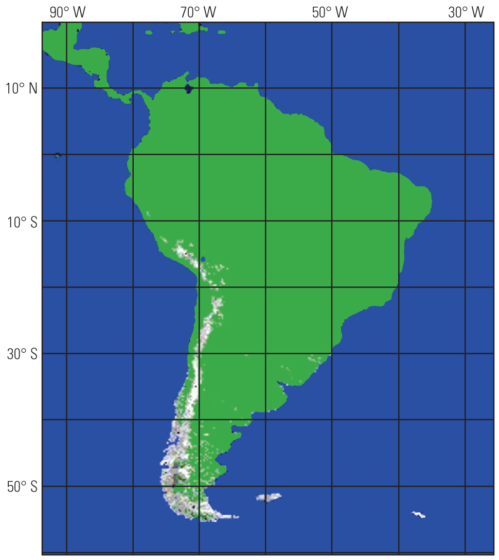 Figure 8.—Passive-microwave-derived monthly mean snow map of South America for July 1991, based on the Chang and others (1987) Special Sensor Microwave/Imager (SSM/I) algorithm. Snow-water equivalent is shown on the maps in various shades of grey from 0 to 150 mm. Map courtesy of James L. Foster, NASA/Goddard Space Flight Center. |

![]() U.S. Department of the Interior |
U.S. Geological Survey
U.S. Department of the Interior |
U.S. Geological Survey
URL: http://pubsdata.usgs.gov/pubs/pp/p1386a/gallery3-fig08.html
Page Contact Information: GS Pubs Web Contact
Page Last Modified: Thursday, 01-Dec-2016 16:25:39 EST
