Professional Paper 1386–A
Select image for high resolution and Save to download 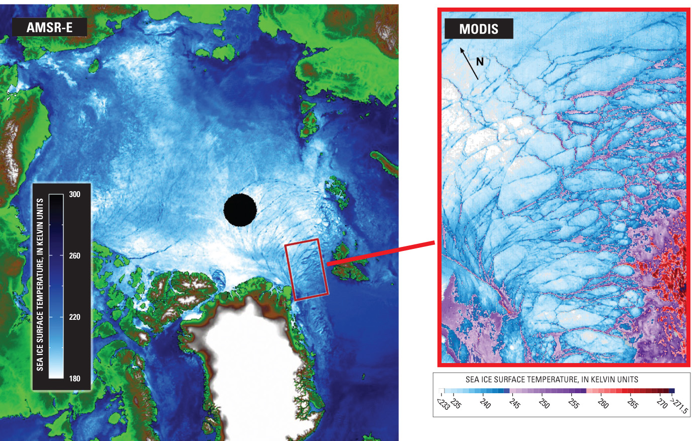 Figure 5. Same-day sea-ice images from microwave and visible/infrared sensors. Left: The Arctic region on 12 March 2003, as imaged from the 89-GHz vertically polarized channel of the Earth Observing System (EOS) Aqua Advanced Microwave Scanning Radiometer for EOS (AMSR-E), at a pixel resolution of 5 km. Right: Ice-surface temperature in the Fram Strait on 12 March 2003, as determined from data from the EOS Terra Moderate Resolution Imaging Spectroradiometer (MODIS). (Images from Hall and others, 2004.) |

![]() U.S. Department of the Interior |
U.S. Geological Survey
U.S. Department of the Interior |
U.S. Geological Survey
URL: http://pubsdata.usgs.gov/pubs/pp/p1386a/gallery4-fig05.html
Page Contact Information: GS Pubs Web Contact
Page Last Modified: Thursday, 01-Dec-2016 16:25:44 EST
