Select image for high resolution and Save to download

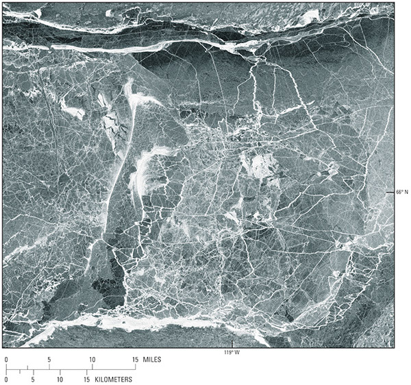
Figure 20. European Remote Sensing Satellite-1 (ERS-1) synthetic aperture radar
(SAR) image on 1 January 1992, showing widespread ice fracturing and ridging in McTavish Arm (lat 66.1°N., long 119.00°W.), Great Bear Lake, Northwest Territories, Canada (from Morris and others, 1995). The image covers an area of 70 km by
80 km on the ground.
|