Professional Paper 1386–A
Select image for high resolution and Save to download 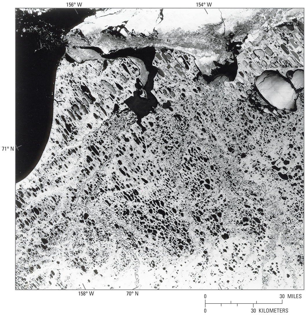 Figure 25.—Landsat 7 ETM+ false-color composite image of the Alaskan Arctic coastal plain showing a predominance of elongated oriented lakes and other forms of thermokarst lakes. The lakes are oriented approximately north-south; the prevailing wind direction is from the northeast. Landsat 7 ETM+ image (L71079010-01020000815, path 79, row 10; 15 August 2000) from the U.S. Geological Survey EROS Data Center, Sioux Falls, S. Dak. |

![]() U.S. Department of the Interior |
U.S. Geological Survey
U.S. Department of the Interior |
U.S. Geological Survey
URL: http://pubsdata.usgs.gov/pubs/pp/p1386a/gallery5-fig25.html
Page Contact Information: GS Pubs Web Contact
Page Last Modified: Thursday, 01-Dec-2016 16:26:10 EST
