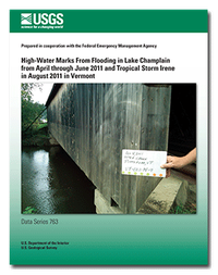
High-water marks from flooding in Lake Champlain from April through June 2011 and Tropical Storm Irene in August 2011 in Vermont
Links
- More information: USGS Index Page
- Document: Report
- Appendixes:
- Read Me: Read Me
- Download citation as: RIS | Dublin Core
Abstract
Suggested Citation
Medalie, L., Olson, S., 2013, High-water marks from flooding in Lake Champlain from April through June 2011 and Tropical Storm Irene in August 2011 in Vermont: U.S. Geological Survey Data Series 763, iv, 11 p.; Appendix Readme File; 3 Appendixes, https://doi.org/10.3133/ds763.
ISSN: 2327-638X (online)
Study Area
| Publication type | Report |
|---|---|
| Publication Subtype | USGS Numbered Series |
| Title | High-water marks from flooding in Lake Champlain from April through June 2011 and Tropical Storm Irene in August 2011 in Vermont |
| Series title | Data Series |
| Series number | 763 |
| DOI | 10.3133/ds763 |
| Year Published | 2013 |
| Language | English |
| Publisher | U.S. Geological Survey |
| Publisher location | Reston, VA |
| Contributing office(s) | New England Water Science Center |
| Description | iv, 11 p.; Appendix Readme File; 3 Appendixes |
| Country | United States |
| State | Vermont |
| Online Only (Y/N) | Y |
| Additional Online Files (Y/N) | Y |


