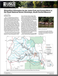
Streamflow Information for the Jacks Fork and Current River in the Ozark National Scenic Riverways, South-Central Missouri
Links
- Document: Report (535 kB pdf)
- Download citation as: RIS | Dublin Core
Abstract
The U.S. Geological Survey (USGS), in cooperation with the National Park Service (NPS), has been collecting streamflow information on the Current River and one of its tributaries, the Jacks Fork, for 78 years. Both rivers are located in south-central Missouri in an area with large springs, streams, caves, and rugged countryside. Outdoor activities, such as camping, floating, fishing, hunting, and hiking, are numerous. Part of both the Jacks Fork and the Current River are in the Ozark National Scenic Riverways (ONSR), which is administrated by the NPS. The Jacks Fork and Current River were the Nation’s first congressionally designated scenic riverways.
Suggested Citation
Wilson, G.L., 2001, Streamflow information for the Jacks Fork and Current River in the Ozark National Scenic Riverways, south-central Missouri: U.S. Geological Survey Fact Sheet 092-01, 4 p., https://doi.org/10.3133/fs09201.
ISSN: 2327-6932 (online)
Table of Contents
- Introduction
- Springs
- Rivers
- Flow Variation
- Low Flow
- High Flow
- Information on the Internet
- References Cited
| Publication type | Report |
|---|---|
| Publication Subtype | USGS Numbered Series |
| Title | Streamflow information for the Jacks Fork and Current River in the Ozark National Scenic Riverways, south-central Missouri |
| Series title | Fact Sheet |
| Series number | 092-01 |
| DOI | 10.3133/fs09201 |
| Year Published | 2001 |
| Language | English |
| Publisher | U.S. Geological Survey |
| Publisher location | Reston, VA |
| Contributing office(s) | Missouri Water Science Center |
| Description | 4 p. |


