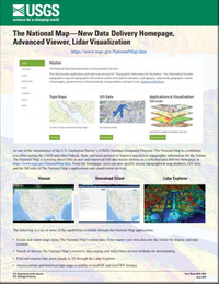
The National Map—New Data Delivery Homepage, Advanced Viewer, Lidar Visualization
Links
- Document: Report (629 kB pdf)
- Download citation as: RIS | Dublin Core
Abstract
As one of the cornerstones of the U.S. Geological Survey’s (USGS) National Geospatial Program, The National Map is a collaborative effort among the USGS and other Federal, State, and local partners to improve and deliver topographic information for the Nation. The National Map is featuring direct links to new and improved GIS data access utilities on a refreshed data delivery homepage at https://www.usgs.gov/NationalMap/data. From the homepage, users can now quickly access topographical map products, GIS data, and the full suite of The National Map’s applications and visualization services.
Suggested Citation
U.S. Geological Survey, 2019, The National Map—New data delivery homepage, advanced viewer, lidar visualization: US. Geological Survey Fact Sheet 2019–3032, 2 p., https://doi.org/10.3133/fs20193032.
ISSN: 2327-6932 (online)
ISSN: 2327-6916 (print)
| Publication type | Report |
|---|---|
| Publication Subtype | USGS Numbered Series |
| Title | The National Map—New data delivery homepage, advanced viewer, lidar visualization |
| Series title | Fact Sheet |
| Series number | 2019-3032 |
| DOI | 10.3133/fs20193032 |
| Publication Date | June 03, 2019 |
| Year Published | 2019 |
| Language | English |
| Publisher | U.S. Geological Survey |
| Publisher location | Reston, VA |
| Contributing office(s) | National Geospatial Program |
| Description | 2 p. |
| Online Only (Y/N) | N |


