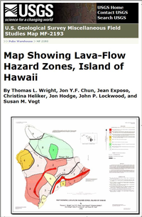
This map shows lava-flow hazard zones for the five volcanoes on the Island of Hawaii. Volcano boundaries are shown as heavy, dark bands, reflecting the overlapping of lava flows from adjacent volcanoes along their common boundary. Hazard-zone boundaries are drawn as double lines because of the geologic uncertainty in their placement. Most boundaries are gradational, and the change In the degree of hazard can be found over a distance of a mile or more. The general principles used to place hazard-zone boundaries are discussed by Mullineaux and others (1987) and Heliker (1990). The differences between the boundaries presented here and in Heliker (1990) reflect new data used in the compilation of a geologic map for the Island of Hawaii (E.W. Wolfe and Jean Morris, unpub. data, 1989). The primary source of information for volcano boundaries and generalized ages of lava flows for all five volcanoes on the Island of Hawaii is the geologic map of Hawaii (E.W. Wolfe and Jean Morris, unpub. data, 1989). More detailed information is available for the three active volcanoes. For Hualalai, see Moore and others (1987) and Moore and Clague (1991); for Mauna Loa, see Lockwood and Lipman (1987); and for Kilauea, see Holcomb (1987) and Moore and Trusdell (1991).


