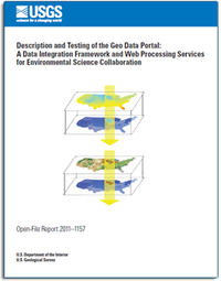
Description and testing of the Geo Data Portal: Data integration framework and Web processing services for environmental science collaboration
Links
- More information: USGS Index Page (html)
- Download citation as: RIS | Dublin Core
Abstract
Suggested Citation
Blodgett, D.L., Booth, N., Kunicki, T.C., Walker, J.I., Viger, R., 2011, Description and testing of the Geo Data Portal: Data integration framework and Web processing services for environmental science collaboration: U.S. Geological Survey Open-File Report 2011-1157, iv, 9 p., https://doi.org/10.3133/ofr20111157.
ISSN: 2331-1258 (online)
| Publication type | Report |
|---|---|
| Publication Subtype | USGS Numbered Series |
| Title | Description and testing of the Geo Data Portal: Data integration framework and Web processing services for environmental science collaboration |
| Series title | Open-File Report |
| Series number | 2011-1157 |
| DOI | 10.3133/ofr20111157 |
| Year Published | 2011 |
| Language | English |
| Publisher | U.S. Geological Survey |
| Publisher location | Reston, VA |
| Contributing office(s) | Wisconsin Water Science Center |
| Description | iv, 9 p. |


