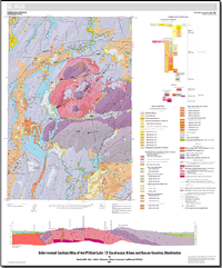
This map is an interpretation of a 6-ft-resolution (2-m-resolution) lidar (light detection and ranging) digital elevation model combined with the geology depicted on the Geologic Map of the Wildcat Lake 7.5' quadrangle, Kitsap and Mason Counties, Washington (Haeussler and Clark, 2000). Haeussler and Clark described, interpreted, and located the geology on the 1:24,000-scale topographic map of the Wildcat Lake 7.5' quadrangle. This map, derived from 1951 aerial photographs, has 20-ft contours, nominal horizontal resolution of approximately 40 ft (12 m), and nominal mean vertical accuracy of approximately 10 ft (3 m). Similar to many geologic maps, much of the geology in the Haeussler and Clark (2000) map-especially the distribution of surficial deposits-was interpreted from landforms portrayed on the topographic map. In 2001, the Puget Sound lidar Consortium obtained a lidar-derived digital elevation model (DEM) for Kitsap Peninsula including all of the Wildcat Lake 7.5' quadrangle. This new DEM has a horizontal resolution of 6 ft (2 m) and a mean vertical accuracy of about 1 ft (0.3 m). The greater resolution and accuracy of the lidar DEM compared to topography constructed from air photo stereo models have much improved the interpretation of geology in this heavily vegetated landscape, especially the distribution and relative age of some surficial deposits. Many contacts of surficial deposits are adapted unmodified or slightly modified from Haugerud (2009).


