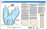
In order to better characterize the water supply capacity of Totten Reservoir, Montezuma County, Colorado, the U.S. Geological Survey, in cooperation with the Dolores Water Conservancy District, conducted a bathymetric survey of Totten Reservoir. The study was performed in June 2011 using a man-operated boat-mounted multibeam echo sounder integrated with a global positioning system and a terrestrial real-time kinematic global positioning system. The two collected datasets were merged and imported into geographic information system software. A bathymetric map of the reservoir was generated in addition to plots for the stage-area and the stage-volume relations.


