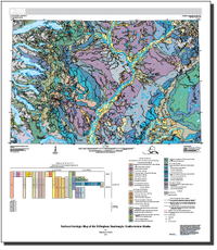
Surficial geologic map of the Dillingham quadrangle, southwestern Alaska
Links
- Documents:
- Sheet: Sheet (12 MB pdf)
- Database: Database (78 MB zip)
- Metadata:
- Read Me: Read Me (315 KB pdf)
- Download citation as: RIS | Dublin Core
Abstract
Suggested Citation
Wilson, F.H., 2018, Surficial geologic map of the Dillingham quadrangle, southwestern Alaska: U.S. Geological Survey Scientific Investigations Map 3388, 15 p., scale 1:250,000, https://doi.org/10.3133/sim3388.
ISSN: 2329-132X (online)
Study Area
| Publication type | Report |
|---|---|
| Publication Subtype | USGS Numbered Series |
| Title | Surficial geologic map of the Dillingham quadrangle, southwestern Alaska |
| Series title | Scientific Investigations Map |
| Series number | 3388 |
| DOI | 10.3133/sim3388 |
| Publication Date | May 14, 2018 |
| Year Published | 2018 |
| Language | English |
| Publisher | U.S. Geological Survey |
| Publisher location | Reston, VA |
| Contributing office(s) | Alaska Science Center |
| Description | Sheet: 29.8 x 34.3 inches; Pamphlet: iii, 15 p.; FAQ; Metadata; Read Me |
| Country | United States |
| State | Alaska |
| Other Geospatial | Dillingham quadrangle |
| Online Only (Y/N) | Y |
| Additional Online Files (Y/N) | Y |


