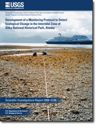
Development of a Monitoring Protocol to Detect Ecological Change in the Intertidal Zone of Sitka National Historical Park, Alaska
Links
- More information: USGS Index Page (html)
- Download citation as: RIS | Dublin Core
Abstract
Suggested Citation
Irvine, G.V., Madison, E.N., 2008, Development of a Monitoring Protocol to Detect Ecological Change in the Intertidal Zone of Sitka National Historical Park, Alaska: U.S. Geological Survey Scientific Investigations Report 2008-5139, vi, 59 p., https://doi.org/10.3133/sir20085139.
ISSN: 2328-0328 (online)
| Publication type | Report |
|---|---|
| Publication Subtype | USGS Numbered Series |
| Title | Development of a Monitoring Protocol to Detect Ecological Change in the Intertidal Zone of Sitka National Historical Park, Alaska |
| Series title | Scientific Investigations Report |
| Series number | 2008-5139 |
| DOI | 10.3133/sir20085139 |
| Year Published | 2008 |
| Language | ENGLISH |
| Publisher | Geological Survey (U.S.) |
| Contributing office(s) | Alaska Science Center |
| Description | vi, 59 p. |
| Time Range Start | 1999-01-01 |
| Time Range End | 2003-12-31 |


