Skip Links

USGS - science for a changing world

U.S. Geological Survey Scientific Investigations Map 3211

Geologic Map of the East Half of the Bellevue South 7.5’ x 15’ Quadrangle, Issaquah Area, King County, Washington

By Derek B. Booth, Timothy J. Walsh, Kathy Goetz Troost, and Scott A. Shimel

Thumbnail of and link to report PDF (18.6 MB)Introduction

The Issaquah area includes several of the most outstanding geologic features of the eastern Puget Lowland region. Folds have warped thousands of meters of Tertiary sedimentary and volcanic rocks. Several hundred meters of both glacial and postglacial sediment have accumulated in a deep glacial trough, which is now partly occupied by Lake Sammamish but which was previously the conduit for massive volumes of meltwater during ice-sheet occupation and retreat. The eastern projection of an east-west-oriented crustal structure, which reflects Tertiary through Holocene fault displacement, extends across the eastern part of the map area.

In addition to these geologic features, some of the most rapid human alteration of the landscape in the entire Puget Lowland has occurred here. Since the 19th century, coal was extensively mined and, since the early 1980s, the region has been overtaken by urbanization. In places, this alteration has dramatically accelerated the rate of geomorphic processes. For example, the hillsides have been regraded as a result of mining and quarries throughout the southern one-third of the quadrangle; stream channels have recently incised above the eastern shores of Lake Sammamish; and sediments have deposited on the lakeshore and into the lake itself.

  • This report is available only on the Web.

For additional information:
Contact Information, Western Region Geology and Geophysics Science Center—Menlo Park
U.S. Geological Survey
345 Middlefield Road, MS-989
Menlo Park, CA 94025-3591
http://geomaps.wr.usgs.gov/

Part of this report is presented in Portable Document Format (PDF); the latest version of Adobe Reader or similar software is required to view it. Download the latest version of Adobe Reader, free of charge.


Suggested citation:

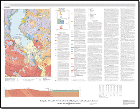
Booth, D.B., Walsh, T.J., Goetz Troost, K., and Shimel, S.A., 2012, Geologic map of the east half of the Bellevue South 7.5’ x 15’ quadrangle, Issaquah area, King County, Washington: U.S. Geological Survey Scientific Investigations Map 3211, scale 1:24,000. (Available at https://pubs.usgs.gov/sim/3211/.)


Accessibility FOIA Privacy Policies and Notices

Take Pride in America logo USA.gov logo U.S. Department of the Interior | U.S. Geological Survey
URL: http://pubsdata.usgs.gov/pubs/sim/3211/index.html
Page Contact Information: GS Pubs Web Contact
Page Last Modified: Thursday, 01-Dec-2016 17:27:23 EST