Scientific Investigations Map 3291
|
First posted March 10, 2014 For additional information, contact: Part or all of this report is presented in Portable Document Format (PDF). For best results viewing and printing PDF documents, it is recommended that you download the documents to your computer and open them with Adobe Reader. PDF documents opened from your browser may not display or print as intended. Download the latest version of Adobe Reader, free of charge. |
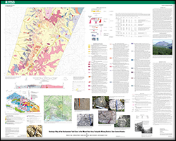
Day, W.C., O’Neill, J.M., Dusel-Bacon, Cynthia, Aleinikoff, J.N., Siron, C.R., 2014, Geologic map of the Kechumstuk fault zone in the Mount Veta area, Fortymile mining district, east-central Alaska (ver. 1.1, March 12, 2014): U.S. Geological Survey Scientific Investigations Map 3291, scale 1:63,360, https://dx.doi.org/10.3133/sim3291.
ISSN 2329-132X (online)

![]() U.S. Department of the Interior |
U.S. Geological Survey
U.S. Department of the Interior |
U.S. Geological Survey
URL: http://pubsdata.usgs.gov/pubs/sim/3291/index.html
Page Contact Information: GS Pubs Web Contact
Page Last Modified: Thursday, 01-Dec-2016 17:31:27 EST