Scientific Investigations Map 3311
|
First posted February 18, 2015 For additional information, contact: Part or all of this report is presented in Portable Document Format (PDF). For best results viewing and printing PDF documents, it is recommended that you download the documents to your computer and open them with Adobe Reader. PDF documents opened from your browser may not display or print as intended. Download the latest version of Adobe Reader, free of charge. More information about viewing, downloading, and printing report files can be found here. |
Fendick, R.B., Jr., and Carter, Kayla, 2015, Potentiometric surface, 2013, and water-level differences, 1991–2013, of the Carrizo-Wilcox aquifer in northwest Louisiana: U.S. Geological Survey Scientific Investigations Map 3311, 1 sheet, https://dx.doi.org/10.3133/sim3311.
ISSN 2329-1311 (print)
ISSN 2329-132X (online)
Introduction
Hydrogeology
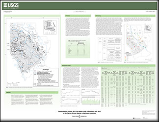
Potentiometric Surface
References

![]() U.S. Department of the Interior |
U.S. Geological Survey
U.S. Department of the Interior |
U.S. Geological Survey
URL: http://pubsdata.usgs.gov/pubs/sim/3311/index.html
Page Contact Information: GS Pubs Web Contact
Page Last Modified: Thursday, 01-Dec-2016 17:32:20 EST