| Modeling Streamflow and Water Temperature in the North Santiam and Santiam Rivers, Oregon, 2001-02 |
| By Annett B. Sullivan and Stewart A. Rounds |
| Scientific Investigations Report 2004-5001 |
| Prepared in Cooperation with the Oregon Association of Clean Water Agencies |
| Download the report | |||
|
Abstract To support the development of a total maximum daily load (TMDL) for water temperature in the Willamette Basin, the laterally averaged, two-dimensional model CE-QUAL-W2 was used to construct a water temperature and streamflow model of the Santiam and North Santiam Rivers. The rivers were simulated from downstream of Detroit and Big Cliff dams to the confluence with the Willamette River. Inputs to the model included bathymetric data, flow and temperature from dam releases, tributary flow and temperature, and meteorologic data. The model was calibrated for the period July 1 through November 21, 2001, and confirmed with data from April 1 through October 31, 2002. Flow calibration made use of data from two streamflow gages and travel-time and river-width data. Temperature calibration used data from 16 temperature monitoring locations in 2001 and 5 locations in 2002. A sensitivity analysis was completed by independently varying input parameters, including point-source flow, air temperature, flow and water temperature from dam releases, and riparian shading. Scenario analyses considered hypothetical river conditions without anthropogenic heat inputs, with restored riparian vegetation, with minimum streamflow from the dams, and with a more-natural seasonal water temperature regime from dam releases. | ||
|
Contents Abstract Significant Findings Introduction Site Description, Basin Characteristics, and Hydrology Purpose and Scope Methods Model Description Bathymetric Data and the Model Grid Temporal Inputs and Shading Calibration Data Model Calibration Water Balance Water Temperature Sensitivity Analysis Point Sources Dam Release Temperature Air Temperature Riparian Vegetation Dam Release Flow Simulation of System Potential Conditions System-Potential Vegetation with Proposed NOAA Fisheries Target Flows System-Potential Vegetation with Proposed NOAA Fisheries Target Flows and a More Natural Seasonal Temperature Regime in Dam Releases Summary Acknowledgements References Cited Appendix: Revised Water Temperature Standards |

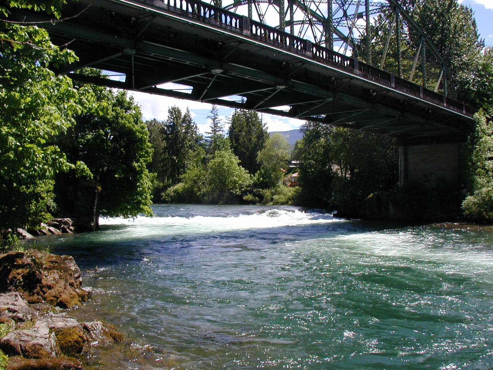
North Santiam River at river mile 47.2 
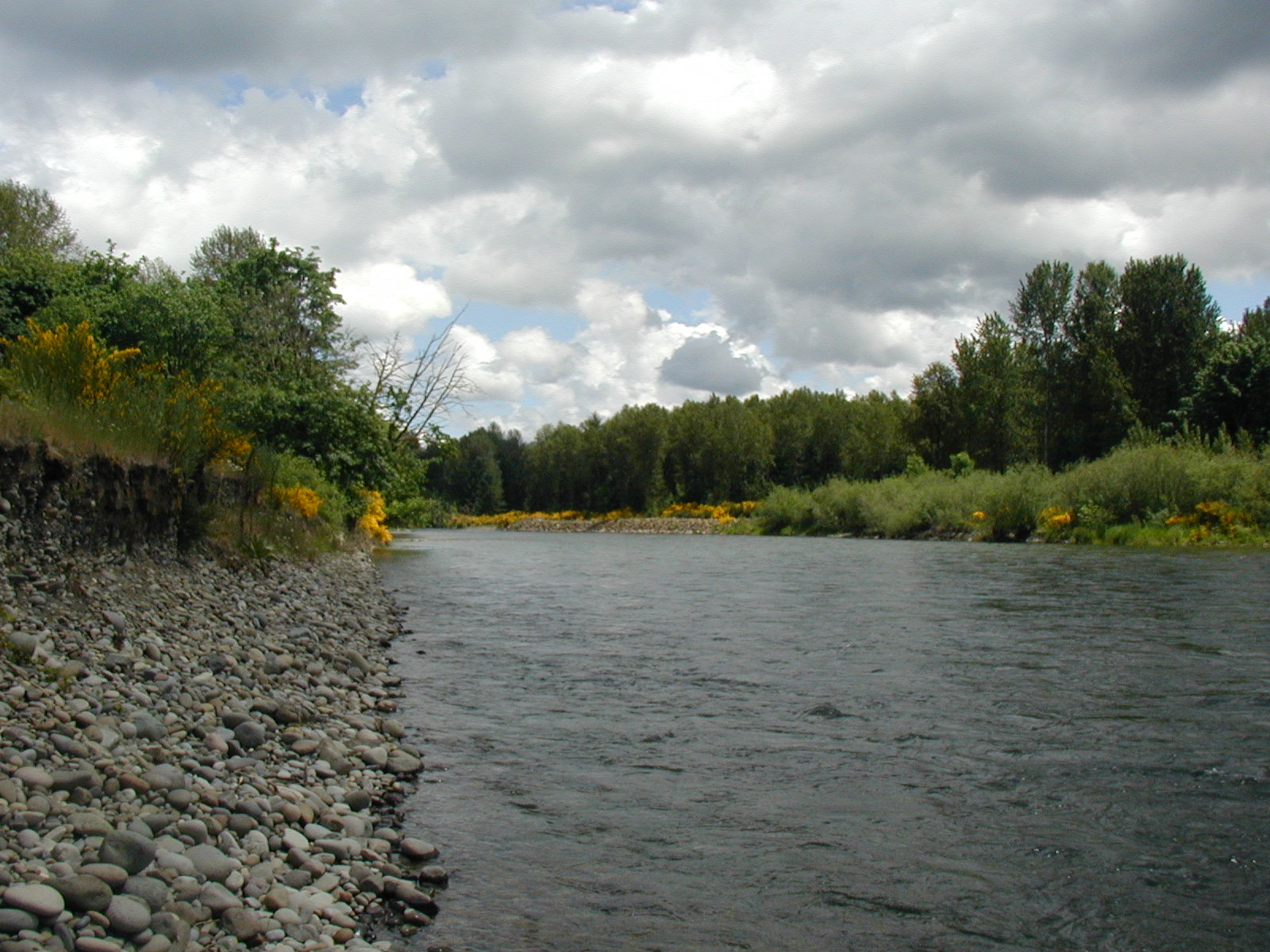
North Santiam River at river mile 29.5 |
|
|
| Download the report (PDF, 2.6 MB) (Adobe ReaderTM required; version 5 or higher preferred.) |
| If you do not have the Adobe PDF Reader, it is available for free download from Adobe Systems Incorporated. |
| Document Accessibility: Adobe Systems Incorporated has information about PDFs and the visually impaired. This information provides tools to help make PDF files accessible. These tools convert Adobe PDF documents into HTML or ASCII text, which then can be read by screen-reading programs that synthesize text as audible speech. In addition, a version of Adobe Reader that contains support for screen readers is available. The conversion tools and the accessible reader may be obtained free from Adobe at Access Adobe. |
|
|
| Order a printed copy of this or other USGS water-resources reports. |
| For more information about the North Santiam and Santiam Rivers temperature model, please visit the project Web site. |
| To find out more about the USGS in Oregon, please visit our home page. |
| AccessibilityFOIAPrivacyPolicies and Notices | |
 |
|