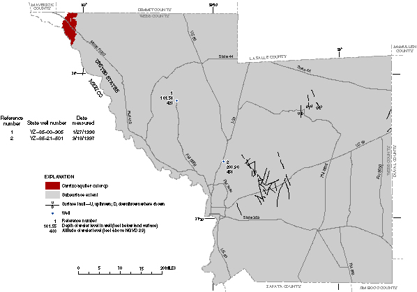
Figure 40. Extent of the Carrizo aquifer outcrop, subsurface extent of the aquifer, and depth of water level in wells, 1997–98.
Back to Contents | Back to Text | Figure 41