Scientific Investigations Report 2011-5105

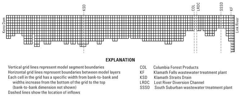
Figure 2. A longitudinal transect through the main branch (branch 1) of the model grid from the mouth of Link River (right) to Keno Dam (left), Oregon, representing 19.6 miles of the Klamath River. |
First posted July 14, 2011 For additional information contact: Part or all of this report is presented in Portable Document Format (PDF); the latest version of Adobe Reader or similar software is required to view it. Download the latest version of Adobe Reader, free of charge. |