WRIR 01-4195
Ground-Water Discharge Determined from Estimates of Evapotranspiration,
Death Valley Regional Flow System, Nevada and California
Table of Contents | Conversion Factors and Acronyms | Report Home Page
 15 |
 16 |
 17 |
 18 |
 19 |
 20 |
 21 |
 22 |
 144 |
 145 |
| Number | Date | Description |
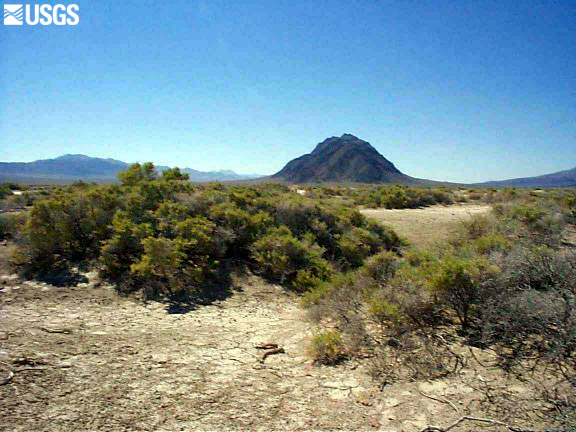
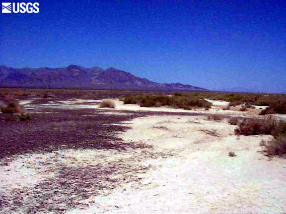
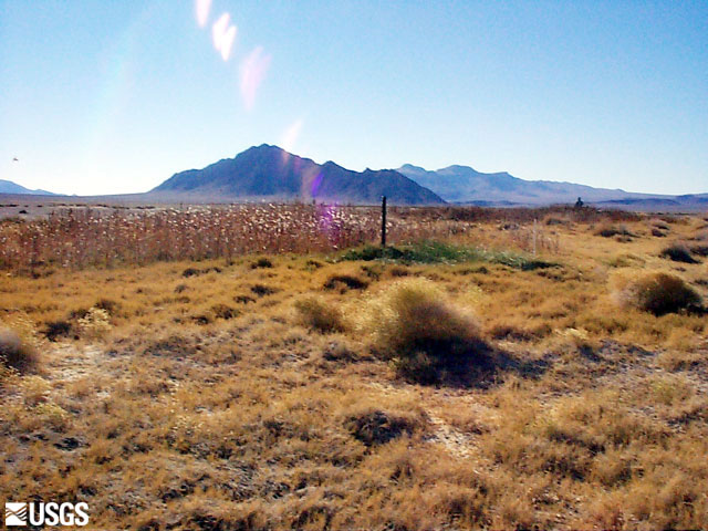
| 15 | 13 July 1998 | Greasewood dunes |
| 16 | 13 July 1998 | Greasewood dunes along playa |
| 17 | 13 July 1998 | Outer edge of greasewood to open desert |
| 18 | 13 July 1998 | Riparian vegetation along dry wash |
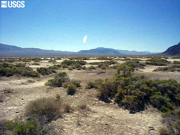
| 19 | 13 July 1998 | Open desert to greasewood dunes |
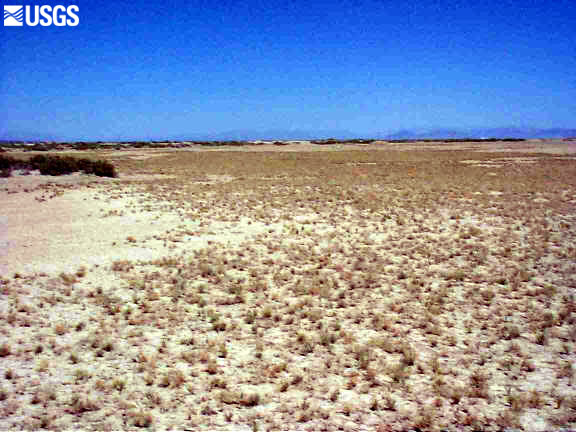
| 20 | 13 July 1998 | Extensive saltgrass meadow |
| 21 | 13 July 1998 | Extensive saltgrass meadow |
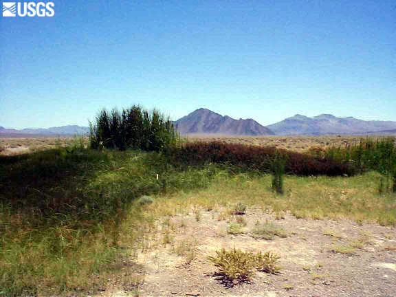
| 22 | 13 July 1998 | Marsh and grasses around flowing well |
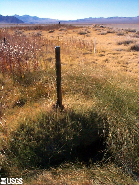
| 144 | 12 November 1998 | Saltgrass and marsh around flowing well |
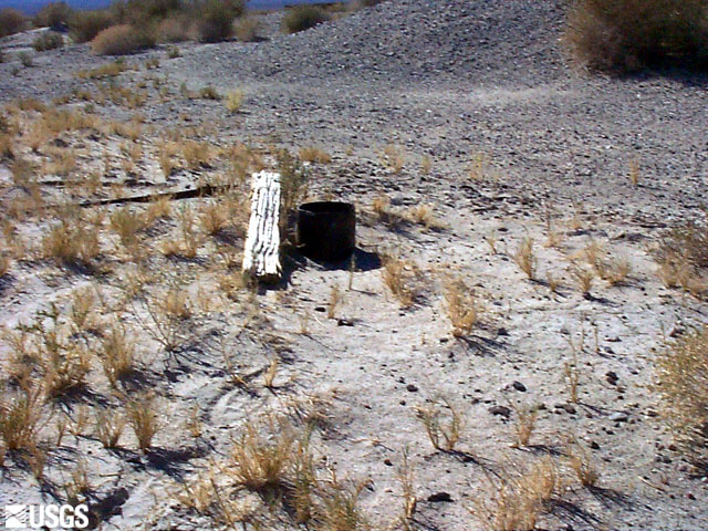
| 145 | 12 November 1998 | Flowing well and background piezometer |
 146 |
 147 |
 148 |
 149 |
 150 |
 151 |
| Number | Date | Description |
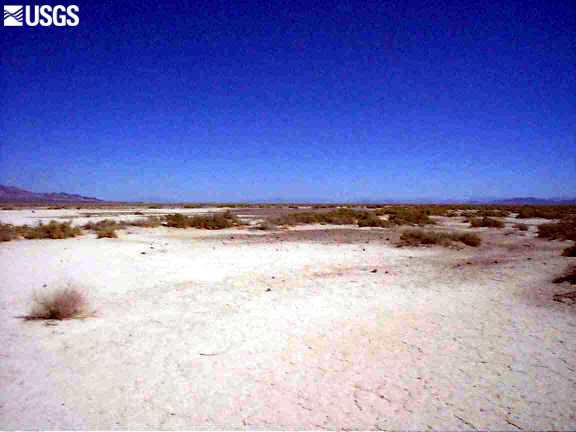
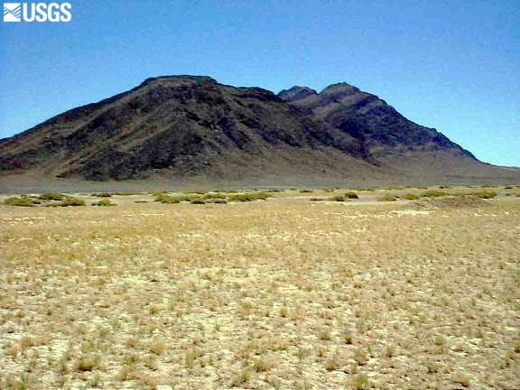
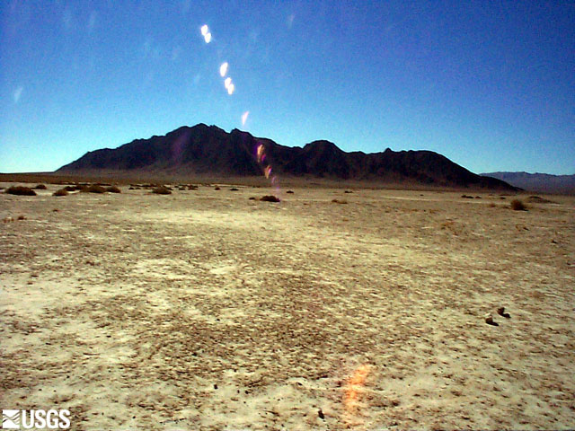
| 146 | 12 November 1998 | Barren open desert (Eagle Mountain) |
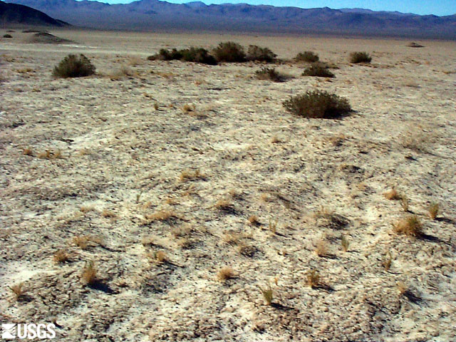
| 147 | 12 November 1998 | Very sparse saltgrass |
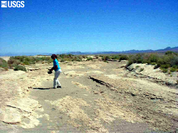
| 148 | 12 November 1998 | Well near historically occupied site |
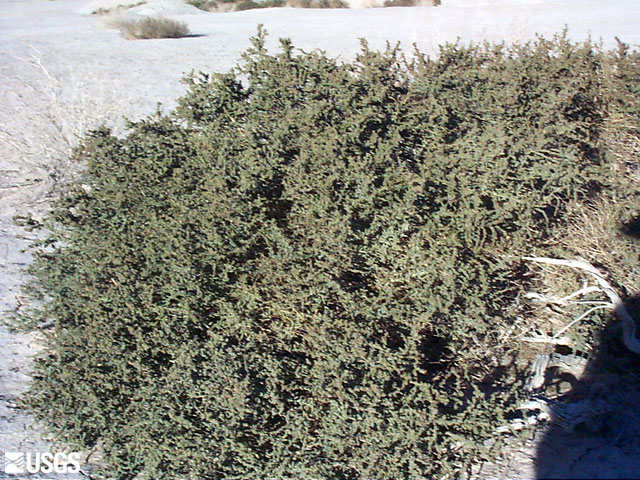
| 149 | 12 November 1998 | Healthy seepweed bush along playa margin |
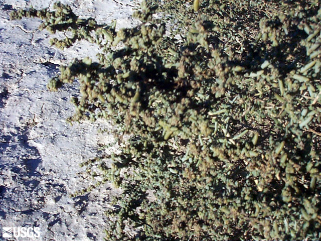
| 150 | 12 November 1998 | Seepweed closeup |
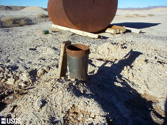
| 151 | 12 November 1998 | One of many playa wells |