|
Summary
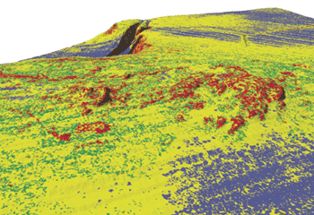
Mapping surficial seafloor facies (sand, silt, muddy sand, rock, etc.) should be the first step in marine geological studies and is crucial when modeling sediment processes, pollution transport, deciphering tectonics, and defining benthic habitats. This report outlines an empirical technique that predicts the distribution of seafloor facies for a large area offshore Los Angeles, CA using high-resolution bathymetry and co-registered, calibrated backscatter from multibeam echosounders (MBES) correlated to ground-truth sediment samples. The technique uses a series of procedures that involve supervised classification and a hierarchical decision tree classification that are now available in advanced image-analysis software packages. Derivative variance images of both bathymetry and acoustic backscatter are calculated from the MBES data and then used in a hierarchical decision-tree framework to classify the MBES data into areas of rock, gravelly muddy sand, muddy sand, and mud. A quantitative accuracy assessment on the classification results is performed using ground-truth sediment samples. The predicted facies map is also ground-truthed using seafloor photographs and high-resolution sub-bottom seismic-reflection profiles.
This Open-File Report contains the predicted seafloor facies map as a georeferenced TIFF image along with the multibeam bathymetry and acoustic backscatter data used in the study as well as an explanation of the empirical classification process.
For more information of the classification process see,
Dartnell, P., and J.V. Gardner, in press. Predicted Seafloor Facies from Multibeam Bathymetry and Acoustic Backscatter Data, Central Santa Monica Bay, California. Photogrammetric Engineering and Remote Sensing
TOP OF PAGE
FGDC Metadata
Bathymetry Data
Backscatter Data
|
![[Link to USGS home page]](images/wrcmgbnr.gif)

![[Reports]](images/nav_rprt.gif)

![[Home]](images/nav_home.gif)
![[Search]](images/nav_srch.gif)
