|
This section describes the data collected for this project, the location of the data, and how to access them.
Data Format and Projection
All vector data are delivered as ESRI shapefiles in the geographic coordinate system (WGS84). The raster data are GeoTIFFs and ESRI Grids in Universal Transverse Mercator, Zone 19, WGS84 projection. These data can also be accessed through the Coastal and Marine Geology Program Internet Map Server (http://coastalmap.marine.usgs.gov/).
All spatial data are distributed with Federal Geographic Data Committee (FGDC) compliant metadata in Extensible Markup Language (*.xml) format. Metadata are also provided for all spatial data in text (*.txt) and FGDC Classic (*.html) format. ESRI ArcCatalog 9.x can also be used to examine the metadata in a variety of additional formats.
Data Access
The complete datasets from this project can be accessed in two different ways, depending on available software.
- If you have ArcGIS 9.x or ArcView 3.x, all shapefile and grid data may be viewed and manipulated, although Spatial Analyst extension will be required to fully examine and work with the ESRI grids.
- If you do not have any GIS software, a free software download is available to view the data.
If you have ArcGIS 9.3 or higher
Copy the following folder GIS/OFR2009_1072 or download the GIS/OFR2009_1072 WinZip file to your computer and open the ArcMap document Duxbury_Hull.mxd. This map document has all the data layers loaded in the table of contents and uses relative links, so there is no need to change any pathways for drive letters, if all folders remain the same under the parent directory (GIS).
*Note: The bottom photographs, seismic images, and raw navigation are not included in this zip file. Download these files separately from the data catalog below and copy the files to the unzipped directory.
If you do not have any GIS Software
View all the data via ArcReader, a free mapping application distributed by ESRI for Windows, Linux, and Unix operating systems. Download ArcReader and install it. Go to the ESRI website at http://www.esri.com/software/arcgis/arcreader/download.html and follow the directions for downloading and installing the free software. Once ArcReader is installed, all the data can be viewed by opening the Published Map File (pmf) at GIS/Duxbury_Hull.pmf.
Data Organization
The data are organized in folders on the DVD and Website. The file structure is the same for both types of media and is described below. Data layers can be downloaded individually using the table below. Individual layers are provided in WinZip files. If WinZip® is not currently installed on the local system, go to WinZip®(http://www.winzip.com) to download the latest version.
 GIS – top-level directory for all spatial data. Copy or download this folder to a local hard drive. Note: the size of the uncompressed version of this directory on the DVD is about 4.0 gigabytes (GB), whereas the size of the compressed version is 402 megabytes (MB). The compressed version does not include the bottom photographic or seismic-profile images; those files should be downloaded separately (see below). GIS – top-level directory for all spatial data. Copy or download this folder to a local hard drive. Note: the size of the uncompressed version of this directory on the DVD is about 4.0 gigabytes (GB), whereas the size of the compressed version is 402 megabytes (MB). The compressed version does not include the bottom photographic or seismic-profile images; those files should be downloaded separately (see below).
Duxbury_Hull.mxd – ArcGIS 9.3 map document with all data loaded in the table of contents.
Duxbury_Hull.pmf – ESRI ArcReader (created with Publisher 9.3) map document for use with free ArcReader software. Download ArcReader at http://www.esri.com/software/arcgis/arcreader/download.html
raster – Folder containing all raster data in either ESRI Grid, ASCII grid, or GeoTIFF format. Contains subdirectories: bathy and backscatter.
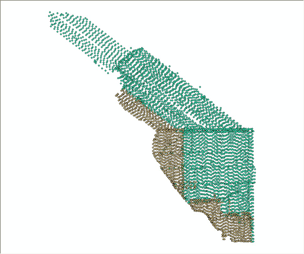
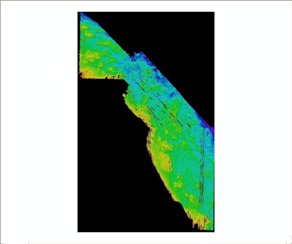
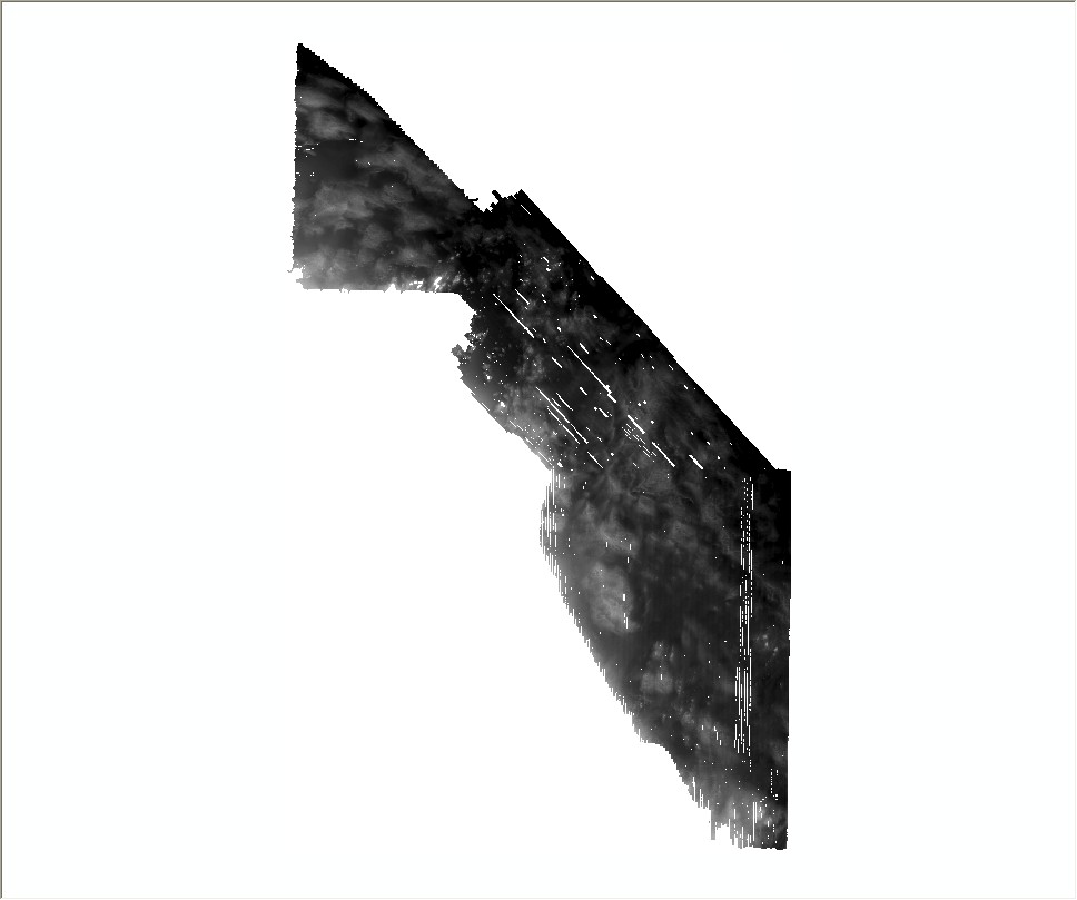
bathy – Contains bathymetry and hillshade grids of the USGS interferometric and NOAA multibeam-echosounder sonars.
backscatter – Contains the sidescan-sonar and multibeam-echosounder backscatter GeoTIFF mosaics.
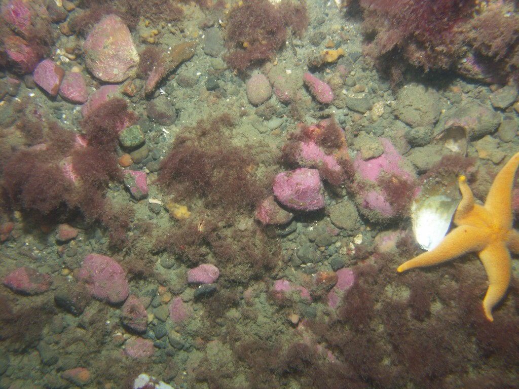
hyperlink_images – Contains seismic profile and bottom photography images in JPEG format. Seismic profile images are hyperlinked to the DH_SeismicTracklines layer in the ArcMap Document table of contents. Bottom photographs are hyperlinked to the DH_BottomPhotos data layer. Use the hyperlink tool in ArcGIS® to click on these data layers in the data view to view the linked image.
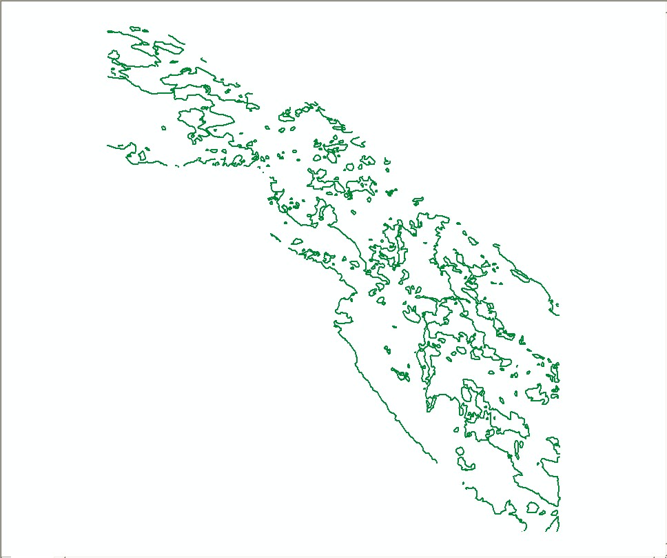
shapefile – Contains nine shapefiles in geographic coordinate system WGS84.
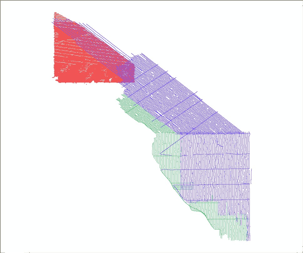
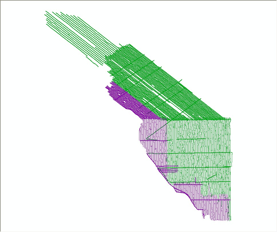
navigation – Contains raw HYPACK® navigation files from surveys 06012 and 07001 and the raw National Marine Electronics Association (NMEA®) string navigation from survey 07003.
Data Catalog
Vector Data – The vector data are stored and delivered in shapefile format in geographic coordinates. The hyperlinks in the first column below “Layer (metadata)” are linked to the metadata for the shapefile. The link in the "Download" column provides access to a WinZip file, which contains the shapefile.
Raster Data – The primary coordinate system for the raster data is WGS84 UTM Zone 19. The link in the "Download" column provides access to a WinZip file, which contains the raster data.
Raster Layer (metadata) |
Description |
View |
Download |
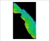
| DH_bathy5m |
5-m bathymetric grid in ESRI 32-bit continuous floating point format |
|
Grid |
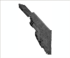
| DH_hlshd5m |
5-m bathymetric hillshade grid in ESRI 16-bit continuous signed integer format |

|
Grid |
| DH_bathyhlshd_wgaps |
5-m depth-colored hillshade image of bathymetry in GeoTIFF format |
|
GeoTIFF |
DH_bathy_wgaps |
5-m grid of bathymetry in GeoTIFF format and ArcInfo ASCII format |
|
AAIGrid |
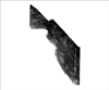
| DH_USGS_backscatter1m |
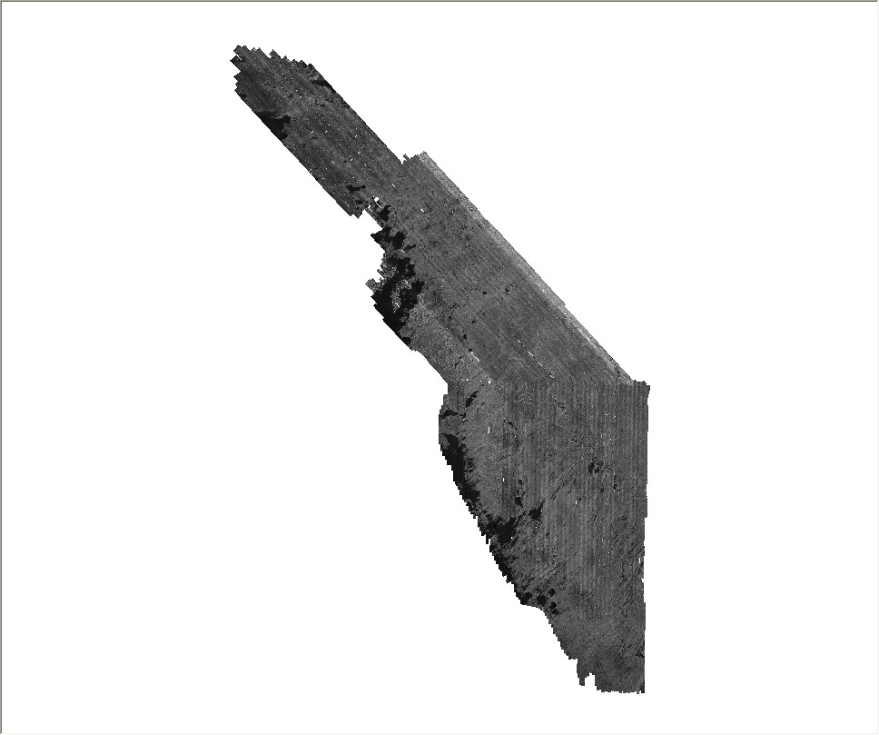
1-m backscatter mosaic of USGS sidescan-sonar data in 8-bit continuous unsigned integer GeoTIFF format |
|
GeoTIFF |
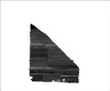
| DH_NOAA_backscatter1m.tif |
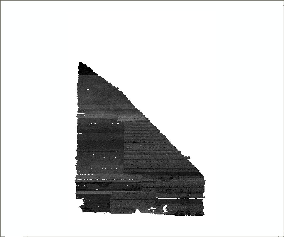
1-m backscatter mosaic of NOAA multibeam-echosounder data in 8-bit continuous unsigned integer GeoTIFF format |
|
GeoTIFF |
Image Data – The link in the "Download" column provides access to a WinZip file, which contains JPEG images.
*Note: These zip files contain downsampled and resized versions of the original JPEG images. Higher resolution images can be downloaded individually from the appropriate directory within the GIS/hyperlink_images/ folder or by obtaining the DVD version of this report.
Navigation Data – The link in the "Download" column provides access to a WinZip file, which contains the navigation files.
|