U.S. Geological Survey Open-File Report 2010–1007
Sea-Floor Geology and Character Offshore of Rocky Point, New York
 |
||
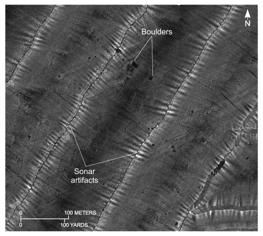
Figure 25. Detailed planar view north of Rocky Point, New York, of the sidescan-sonar mosaic produced during National Oceanic and Atmospheric Administration survey H11251. High-backscatter targets with shadows are interpreted to be boulders. Lines with white cross hatches are sonar artifacts caused by nadir (the track directly under the vessel) not removed during sidescan-sonar processing. Location of view is shown in figure 16. | ||

![]() U.S. Department of the Interior |
U.S. Geological Survey
U.S. Department of the Interior |
U.S. Geological Survey
URL: https://pubsdata.usgs.gov/pubs/of/2010/1007/html/fig25.html
Page Contact Information: Contact USGS
Page Last Modified: Wednesday, 07-Dec-2016 22:38:14 EST


